Heddalsvatnet, Notodden
Map
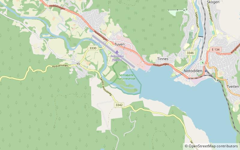
Map

Facts and practical information
Heddalsvatnet is a lake in the municipalities Notodden and Sauherad in Vestfold og Telemark, Norway. The main influx comes from the rivers Tinnelva and Heddøla. The lake covers an area of 11.9 km2 or 13.2 km2 according to NVE. The catchment basin covers a total area of 5380,5 km2. ()
Alternative names: Area: 5.1 mi²Length: 9.94 miElevation: 62 ft a.s.l.Coordinates: 59°33'29"N, 9°13'3"E
Address
Notodden
ContactAdd
Social media
Add
Day trips
Heddalsvatnet – popular in the area (distance from the attraction)
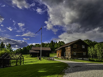
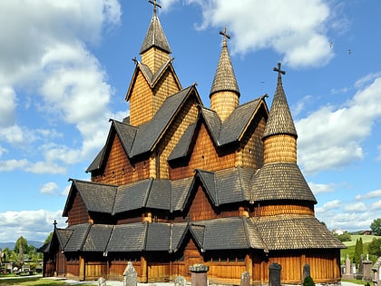
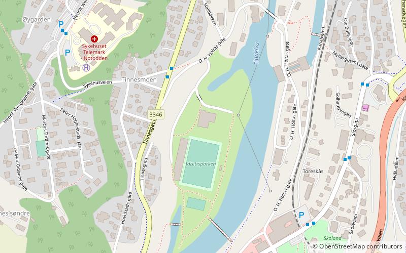
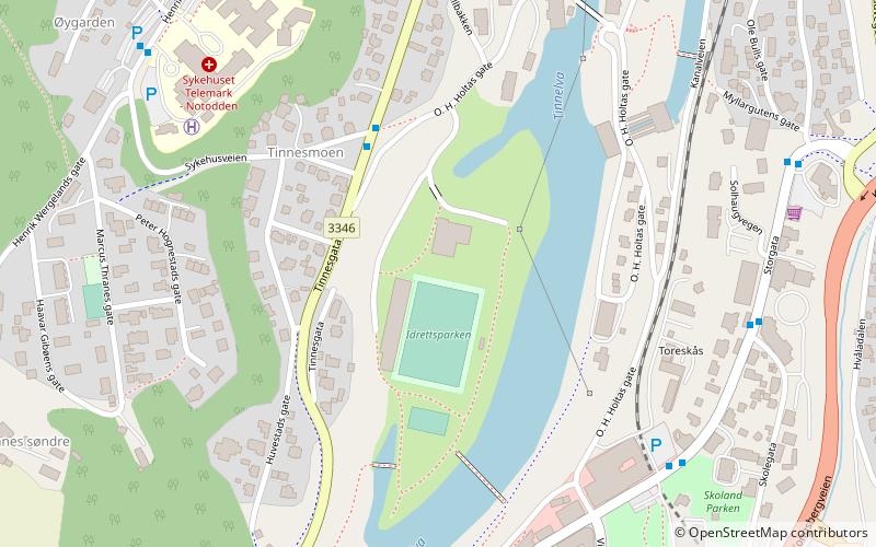
Nearby attractions include: Heddal Bygdetun, Heddal stave church, Idrettsparken, Telemarksgalleriet / Lysbuen.

