Varanger Peninsula, Varangerhalvøya National Park
Map

Map

Facts and practical information
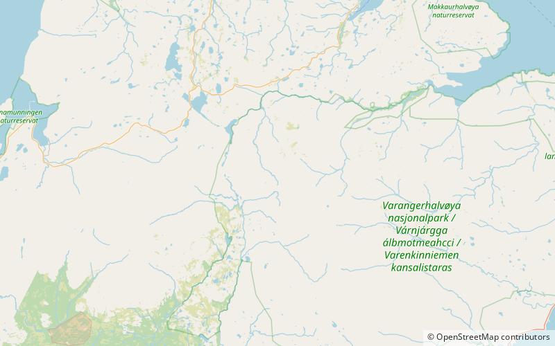
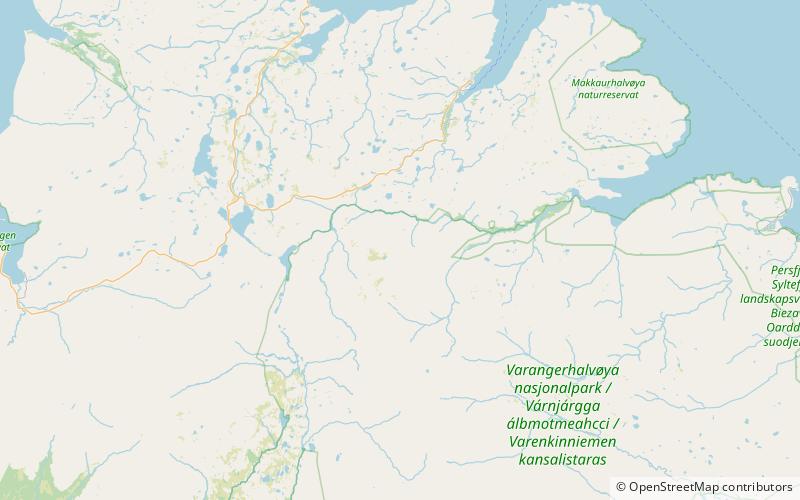
The Varanger Peninsula is a peninsula in Finnmark county, Norway. It is located in the northeasternmost part of Norway, along the Barents Sea. The peninsula has the Tanafjorden to the west, the Varangerfjorden to the south, and the Barents Sea to the north and east. The municipalities of Vadsø, Båtsfjord, Berlevåg, Vardø, Tana, and Nesseby share the 2,069-square-kilometre peninsula. Nesseby and Tana are only partially on the peninsula, with the rest being entirely on the peninsula. The Varangerhalvøya National Park protects most of the land on the peninsula. ()
Address
Varangerhalvøya National Park
ContactAdd
Social media
Add
Day trips
Varanger Peninsula – popular in the area (distance from the attraction)
Nearby attractions include: Timanide Orogen.

