Jengelvatnet, Børgefjell National Park
Map
Facts and practical information
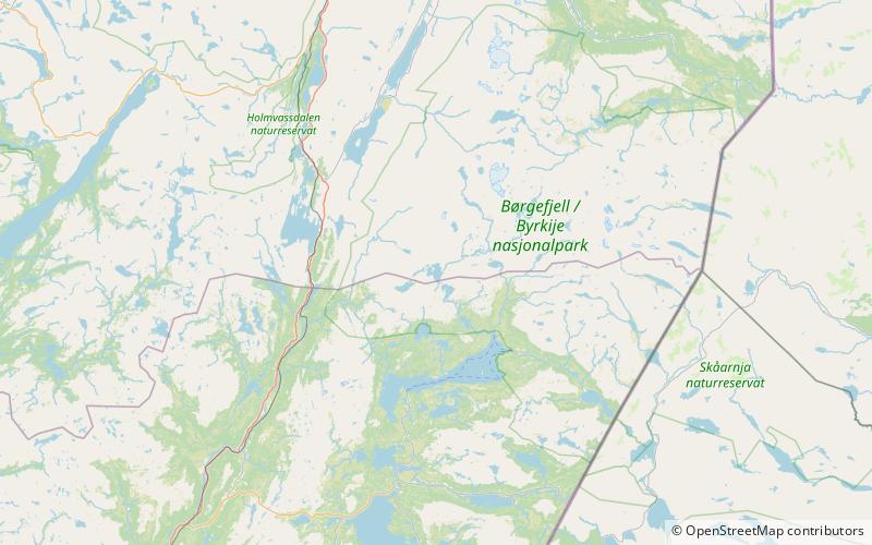
Jengelvatnet or Giengelvihke is a lake in Norway that lies on the borders of the municipalities of Røyrvik and Grane and Hattfjelldal. The 2.54-square-kilometre lake lies inside Børgefjell National Park and it drains to the south into the lake Namsvatnet. ()
Alternative names: Length: 8202 ftWidth: 6562 ftElevation: 2172 ft a.s.l.Coordinates: 65°7'2"N, 13°39'19"E
Address
Børgefjell National Park
ContactAdd
Social media
Add