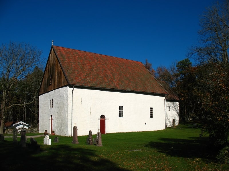
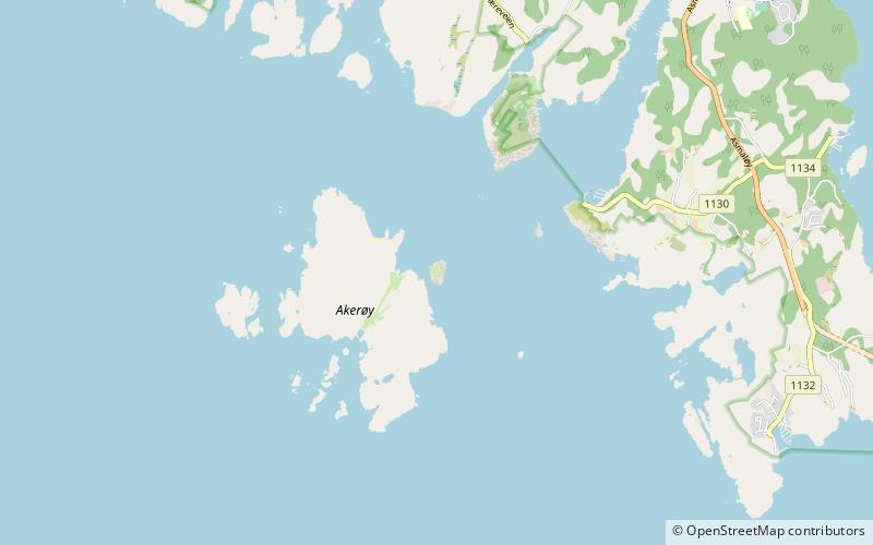
Akerøy fort, Ytre Hvaler National Park

Gallery (1)
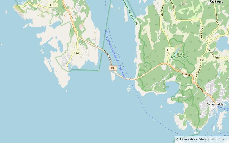
Map
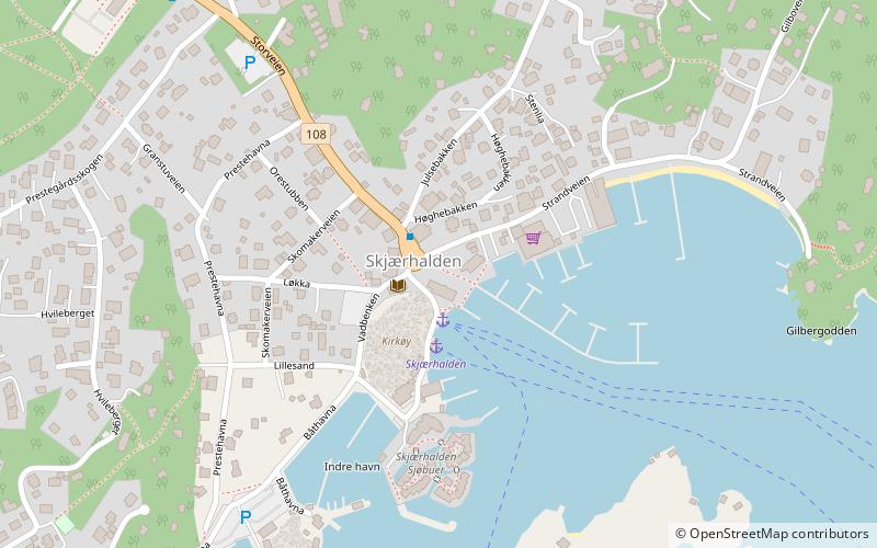
Map
Facts and practical information
Akerøy fort is a place located in Ytre Hvaler National Park (Ãstfold county) and belongs to the category of forts and castles.
It is situated at an altitude of 0 feet, and its geographical coordinates are 59°3'1"N latitude and 10°53'41"E longitude.
Among other places and attractions worth visiting in the area are: Spjærøy Church (church, 71 min walk), Hvaler Tunnel (tunnel, 78 min walk), Hvaler (locality, 110 min walk).
Coordinates: 59°3'1"N, 10°53'41"E
Day trips