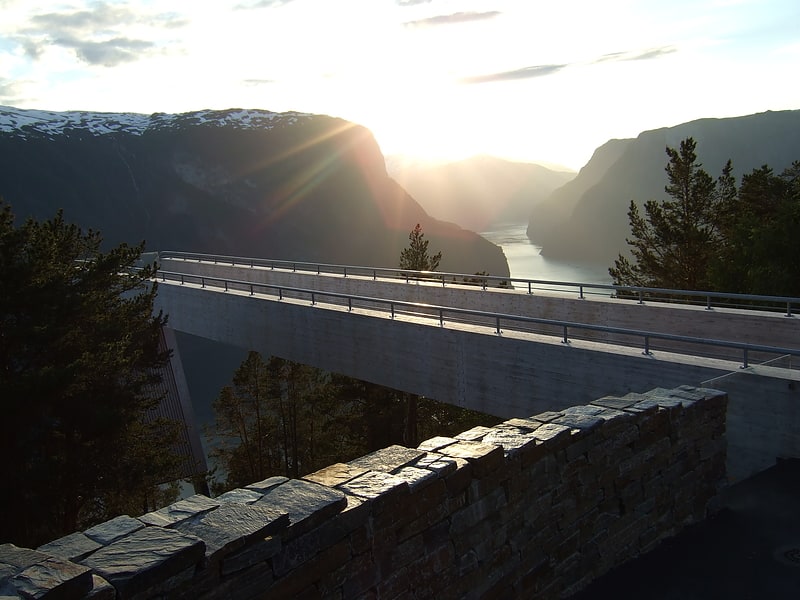
Flåmsbana, Flåm

Gallery (1)
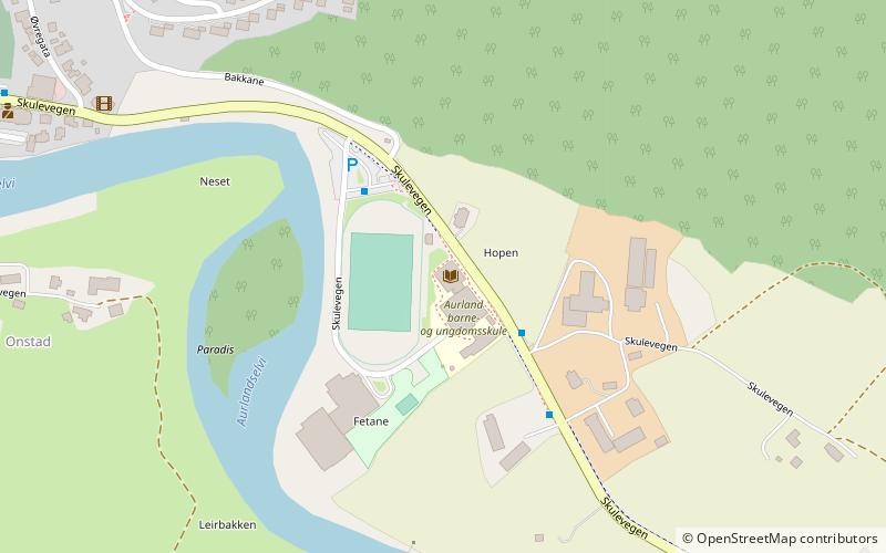
Map
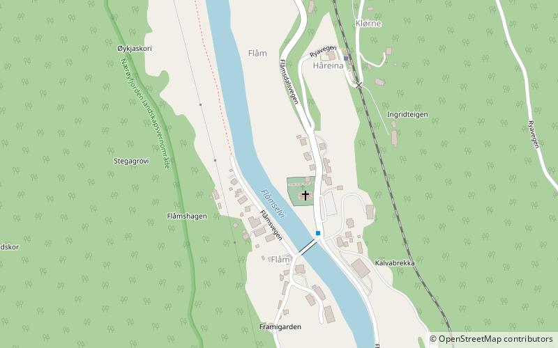
Map
Facts and practical information
Flåmsbana (address: E16 20, 5743) is a place located in Flåm (Sogn og Fjordane county) and belongs to the category of sightseeing.
It is situated at an altitude of 128 feet, and its geographical coordinates are 60°50'17"N latitude and 7°7'14"E longitude.
Among other places and attractions worth visiting in the area are: Flåm Church (church, 2 min walk), Rjoandefossen (nature, 26 min walk), Ægir Bryggeri (nightlife, 46 min walk).
Coordinates: 60°50'17"N, 7°7'14"E
Address
E16 20, 5743Flåm
ContactAdd
Social media
Add
Day trips