Stavne, Trondheim
Map
Map

Facts and practical information
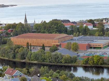
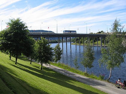
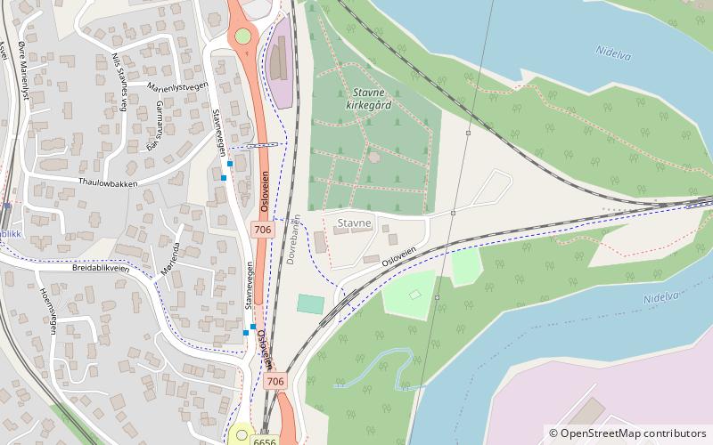
Stavne is a neighbourhood in the city of Trondheim in Trøndelag county, Norway. It is located in the borough of Midtbyen. It is located on the west shore of the river Nidelva, east of Byåsen. It lies across the river from Elgeseter. The area was previously served the Dovre Line. It is presently served by the Stavne–Leangen Line which runs between Stavne and Leangen. ()
Address
Trondheim
ContactAdd
Social media
Add
Day trips
Stavne – popular in the area (distance from the attraction)
Nearby attractions include: Nidaros Cathedral, Erkebispegården, Lerkendal Stadion, Trondheim Spektrum.
Frequently Asked Questions (FAQ)
Which popular attractions are close to Stavne?
Nearby attractions include Tempe Church, Trondheim (13 min walk), Sverresborg, Trondheim (14 min walk), Lerkendal Stadion, Trondheim (16 min walk), Havstein Church, Trondheim (17 min walk).
How to get to Stavne by public transport?
The nearest stations to Stavne:
Bus
Tram
Train
Bus
- Thaulowbakken • Lines: 13, 20, 23, 23 Flatåsen - St. Olavs hospital (3 min walk)
- Breidablikk • Lines: 13, 23, 23 Flatåsen - St. Olavs hospital (7 min walk)
Tram
- Breidablikk • Lines: 9 (7 min walk)
- Belvedere • Lines: 9 (10 min walk)
Train
- Marienborg (12 min walk)
- Lerkendal (20 min walk)

