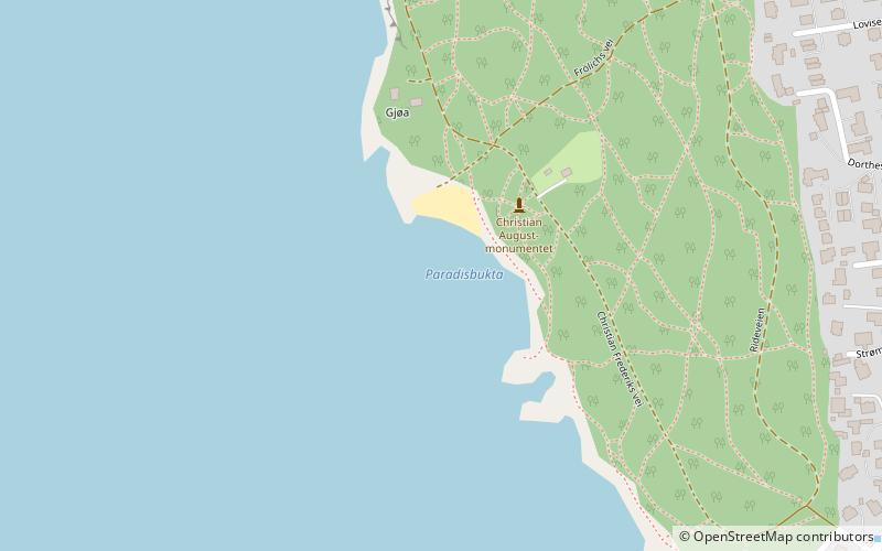
Paradisbukta, Oslo
Facts and practical information
Paradisbukta is a place located in Oslo (Oslo county) and belongs to the category of beach.
It is situated at an altitude of 7 feet, and its geographical coordinates are 59°54'5"N latitude and 10°39'55"E longitude.
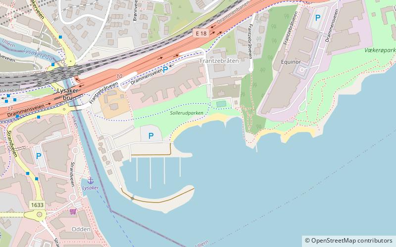
Planning a visit to this place, one can easily and conveniently get there by public transportation. Paradisbukta is a short distance from the following public transport stations: Lysaker (ferry, 28 min walk), Strandveien (bus, 31 min walk), Lysaker (train, 33 min walk), Nobels gate (tram, 41 min walk).
Among other places and attractions worth visiting in the area are: Huk nudiststrand (beach, 11 min walk), Villa Grande (vernacular architecture, 13 min walk), Center for Studies of the Holocaust and Religious Minorities (museum, 13 min walk).
- Bus
- Tram
- Train
- Ferry
 Bus
Bus
- Calculate routeLysaker 28 min walk
- Calculate routeDronningen 30 min walk
- Calculate routeNakholmen 34 min walk
- Calculate routeStrandveien 31 min walk
- Calculate routeLysaker 33 min walk
- Calculate routeNobels gate 41 min walk


Frequently Asked Questions (FAQ)
Which popular attractions are close to Paradisbukta?
How to get to Paradisbukta by public transport?
Ferry
- Lysaker (28 min walk)
- Dronningen • Lines: B9 (30 min walk)
Bus
- Strandveien • Lines: 163, 164 (31 min walk)
Train
- Lysaker (33 min walk)
Tram
- Nobels gate (41 min walk)