Kongsvinger Fortress, Kongsvinger
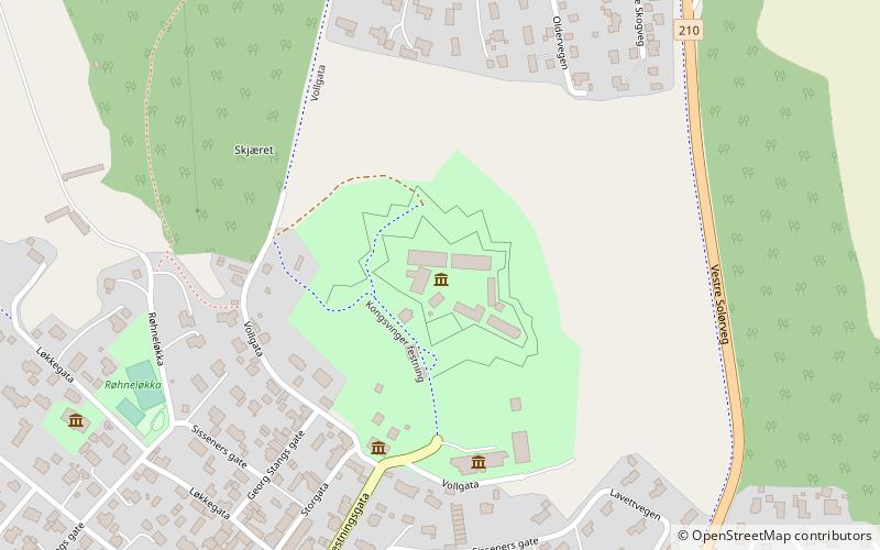
Map

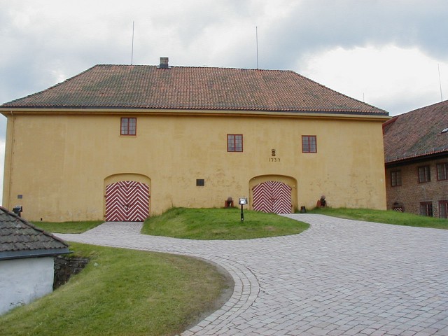
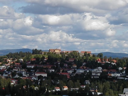
Gallery

Facts and practical information
Kongsvinger Fortress is located in the city and municipality of Kongsvinger in the county of Hedmark, Norway. It is situated on a hill west and north of the Glomma river, standing astride the ancient Vinger Royal Road, which connected Norway and Värmland, Sweden as well as on the north-south Norwegian route along the Glomma. As Kongsvinger formed a key junction point for these routes, fortifications were constructed there to protect against invasion from the east. ()
Day trips
Kongsvinger Fortress – popular in the area (distance from the attraction)
Nearby attractions include: National Women's Museum, Byparken, SceneU, Gjemselund Stadion.
Frequently Asked Questions (FAQ)
Which popular attractions are close to Kongsvinger Fortress?
Nearby attractions include National Women's Museum, Kongsvinger (8 min walk), Byparken, Kongsvinger (17 min walk), Kongsvinger bibliotek, Kongsvinger (18 min walk), SceneU, Kongsvinger (19 min walk).


