Brottøya

Map
Facts and practical information
Brottøya or Brottøy is an island in Hadsel Municipality in Nordland county, Norway. The island lies in the Hadselfjorden, on the west side of the northern entrance to the Raftsundet strait. Brottøya has an area of approximately 2.8 square kilometres and the highest point is the 64-metre tall mountain Durmålshaugen. ()
Alternative names: Area: 1.08 mi²Maximum elevation: 210 ftArchipelago: VesterålenCoordinates: 68°28'58"N, 15°10'8"E
Location
Nordland
ContactAdd
Social media
Add
Day trips
Brottøya – popular in the area (distance from the attraction)
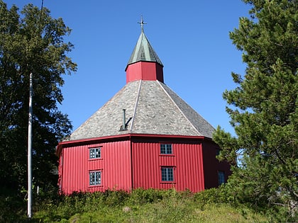
Nearby attractions include: Hadsel Church, Raftsund Bridge, Innlandet Church.


