Jomfruland National Park
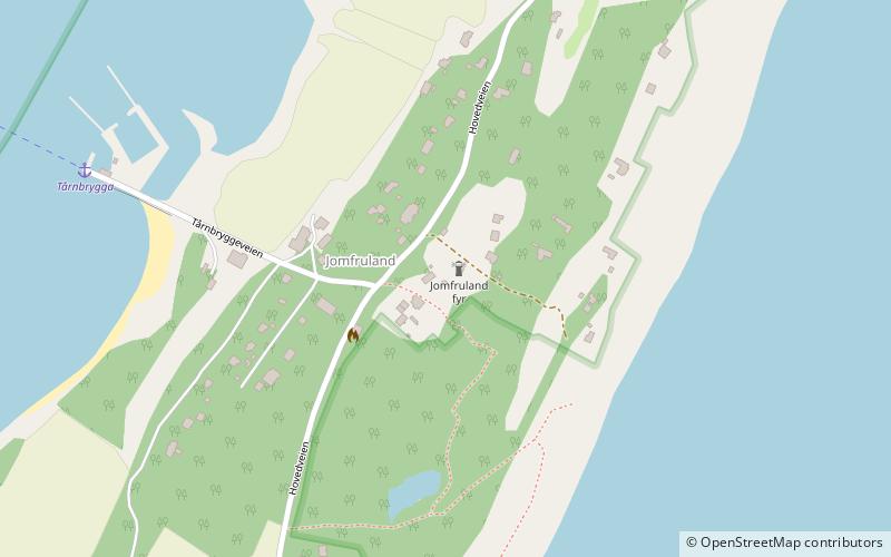
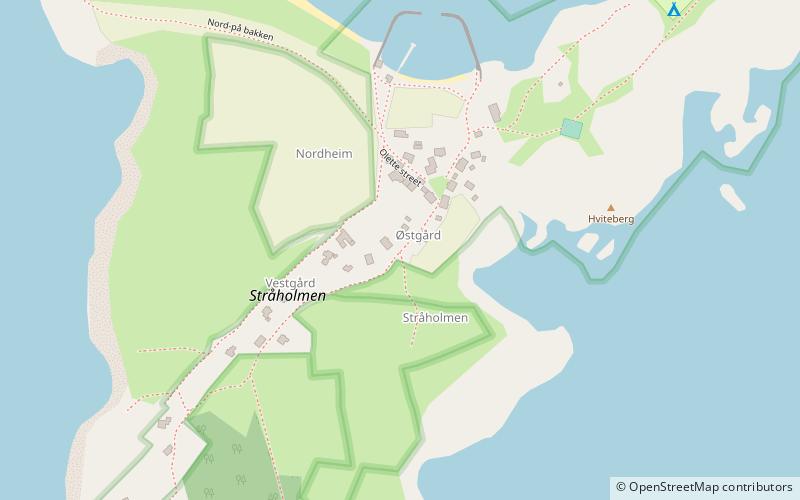
Map

Map

Facts and practical information
Jomfruland National Park is a national park in Kragerø in Telemark, Norway. Jomfruland covers an area of 117 km2, including the islands of Jomfruland and Stråholmen. About 98% if the park area is sea. The park was established on 16 December 2016. ()
Local name: Jomfruland nasjonalpark Established: 16 December 2016Area: 45.17 mi²Elevation: 72 ft a.s.l.Coordinates: 58°51'54"N, 9°35'46"E
Location
Telemark
ContactAdd
Social media
Add
Day trips
Jomfruland National Park – popular in the area (distance from the attraction)
Nearby attractions include: Jomfruland Lighthouse, Skåtøy Church, Stavseng Lighthouse, Stråholmen.


