Losna Island

Map
Facts and practical information
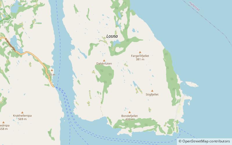
Losna is an island in the municipality of Solund in Vestland county, Norway. The 15.3-square-kilometre island lies at the mouth of the Sognefjorden, on the north side of the Sognesjøen. The Tollesundet strait lies between the island and the mainland of Hyllestad to the east and the Krakhellasundet strait lies between the island and the nearby island of Sula to the west. The island of Sula sits only about 600 metres to the west. The highest point on the very rocky island is the 451-metre tall mountain Meinova on the northern end of the island. ()
Location
Sogn og Fjordane
ContactAdd
Social media
Add
Day trips
Losna Island – popular in the area (distance from the attraction)
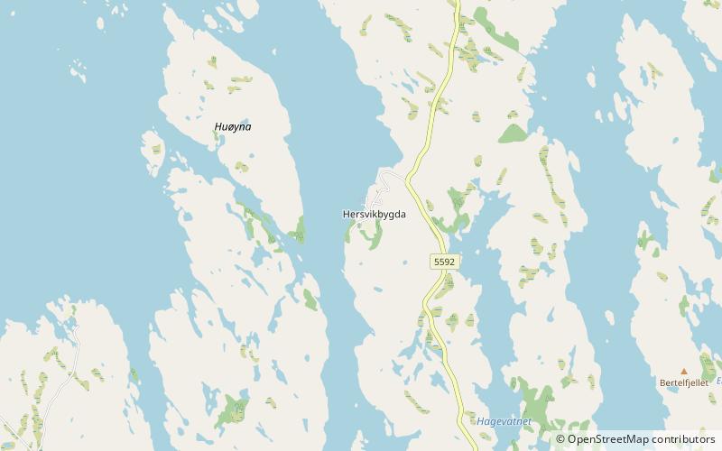
Nearby attractions include: Hersvik Church.
