Ognøya

Gallery (1)
Map
Map
Facts and practical information
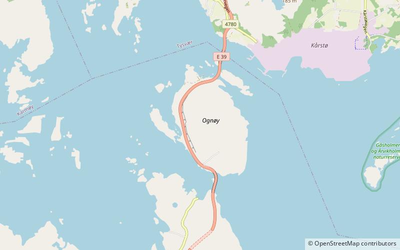
Ognøya or Ogn is an island in Bokn municipality in Rogaland county, Norway. The 5.5-square-kilometre island lies between the mainland and the islands of Austre Bokn and Vestre Bokn. The islands are connected by a series of bridges as part of the European route E39 highway. The industrial area of Kårstø lies just north of Ognøya on the mainland. ()
Area: 2.12 mi²Maximum elevation: 256 ftCoordinates: 59°15'42"N, 5°28'2"E
Location
Rogaland
ContactAdd
Social media
Add
Day trips

