Beisfjord Bridge
Map
Map

Facts and practical information
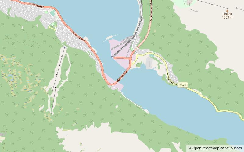
The Beisfjord Bridge is a girder bridge in Narvik Municipality in Nordland county, Norway. The concrete bridge crosses the Beisfjorden on the west side of the town of Narvik. The 375-metre-long bridge connects Ankenes, a residential area on the west side of Narvik, southwest of the fjord, to the city centre of Narvik and the majority of the population is on the northeastern side. The bridge carries the European route E6 highway and it was completed in 1957. ()
Local name: Beisfjordbrua Opened: 1957 (69 years ago)Length: 1230 ftCoordinates: 68°24'27"N, 17°25'21"E
Location
Nordland
ContactAdd
Social media
Add
Day trips
Beisfjord Bridge – popular in the area (distance from the attraction)
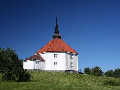
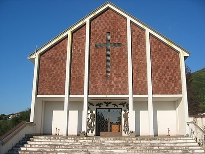
Nearby attractions include: Narvik Church, Museum Nord, Ankenes kirke, Skjomen Bridge.

