Festningen Geotope Protected Area

Facts and practical information
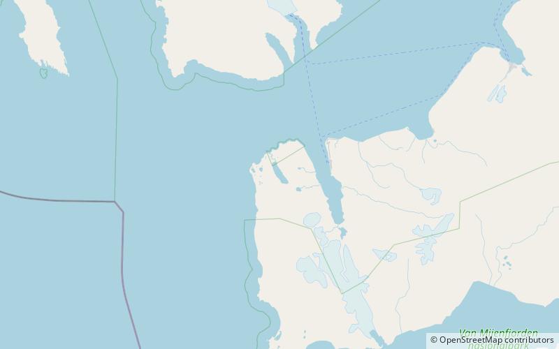
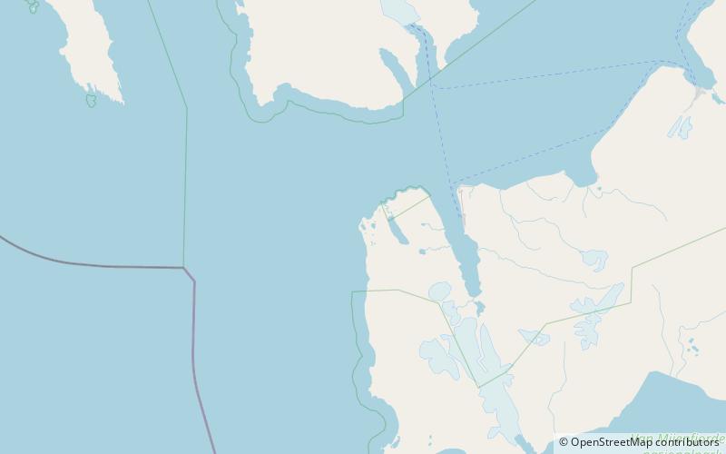
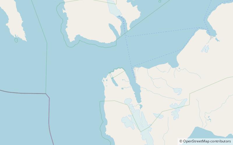
Festningen Geotope Protected Area is located at the outermost edge of Grønfjorden's mouth to Isfjorden on Nordenskiöld Land, Spitsbergen in Svalbard, Norway. The profile is a cliff which runs along the coast from Kapp Starostin to Festningsodden. It covers an areas of 16.6 square kilometres, of which 14 square kilometres is on land and 3 square kilometres in the sea. Barentsburg is the closest settlement, located 6 kilometres away, across Grønfjorden. Festningen was protect on 26 September 2003, as part of a major expansion of the protected areas in Svalbard. The protected areas is administrated by the Norwegian Directorate for Nature Management and the Governor of Svalbard. Festningen is a traditional name given by Norwegian hunters to the area because it looked like a natural fortress. ()
Svalbard