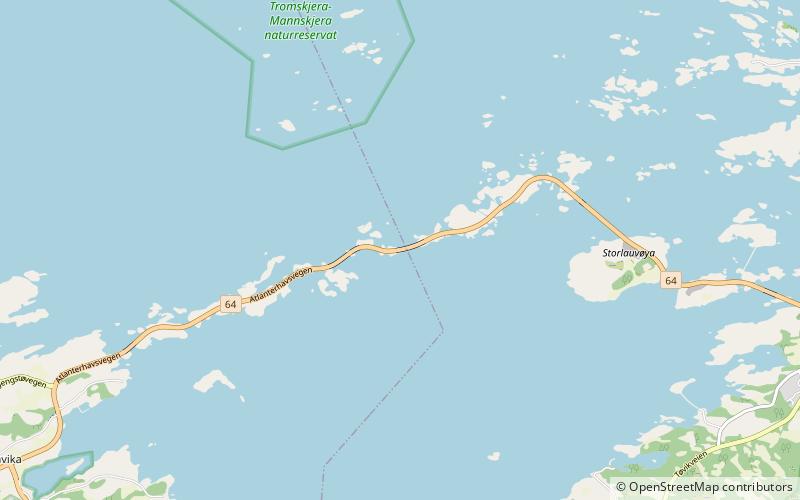
Storseisundet Bridge, Averøy
Map

Map

Facts and practical information
The Storseisundet Bridge is the longest of the eight bridges that make up the Atlanterhavsveien, the road connection from the mainland Romsdal peninsula to the island of Averøya in Møre og Romsdal county, Norway. ()
Local name: Storseisundbrua Opened: 1989 (37 years ago)Length: 853 ftCoordinates: 63°0'60"N, 7°21'11"E
Address
Averøy
ContactAdd
Social media
Add
Day trips
Storseisundet Bridge – popular in the area (distance from the attraction)
Nearby attractions include: Atlantic Ocean Road, Hestskjær Lighthouse, Kornstad Church, Kårvåg.


