Láhpojávri

Map
Facts and practical information
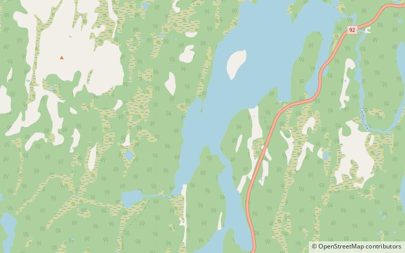
Láhpojávri is a lake in the municipality of Kautokeino-Guovdageaidnu in Troms og Finnmark county, Norway. The 8.17-square-kilometre lake lies on the Finnmarksvidda plateau, the village of Láhpoluoppal lies on the southern tip of the lake. ()
Alternative names: Area: 3.15 mi²Length: 6.84 miWidth: 5906 ftElevation: 1073 ft a.s.l.Coordinates: 69°14'29"N, 23°45'59"E
Location
Finnmark
ContactAdd
Social media
Add
Day trips
Láhpojávri – popular in the area (distance from the attraction)
Nearby attractions include: Láhpoluoppal Chapel.
