Ullasund Bridge
Map

Map

Facts and practical information
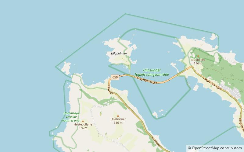
The Ullasund Bridge is a bridge that crosses the Ullasundet strait between the islands of Haramsøya and Flemsøya in Ålesund Municipality in Møre og Romsdal county, Norway. The original bridge was opened in 1969. The Ulla lighthouse is located just northwest of the eastern end of the bridge. ()
Local name: Ullasundbrua Opened: 1969 (57 years ago)Length: 591 ftCoordinates: 62°40'60"N, 6°11'54"E
Location
Møre og Romsdal
ContactAdd
Social media
Add
Day trips
Ullasund Bridge – popular in the area (distance from the attraction)
Nearby attractions include: Ulla Lighthouse, Flemsøya, Fjørtoft Church, Haram Church.


