Sandvinvatnet
Map

Map

Facts and practical information
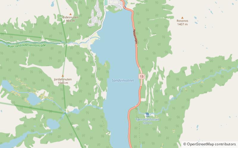
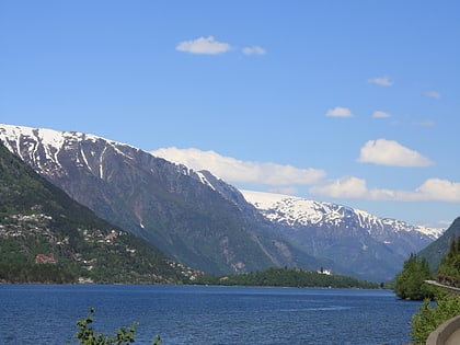
Sandvinvatnet is a lake in Ullensvang Municipality in Vestland county, Norway. The 4.3-square-kilometre lake lies on the southern edge of the town of Odda. The Buerdalen valley and Buarbreen glacier lie to the east of the lake. The Norwegian National Road 13 runs along the east side of the lake. The lake water flows north into the short river Opo, before entering the Sørfjorden. ()
Alternative names: Length: 2.98 miWidth: 4921 ftElevation: 285 ft a.s.l.Coordinates: 60°2'5"N, 6°33'6"E
Location
Hordaland
ContactAdd
Social media
Add
Day trips
Sandvinvatnet – popular in the area (distance from the attraction)
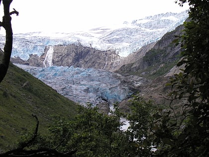
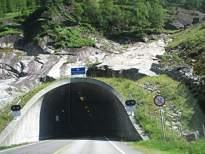
Nearby attractions include: Odda Church, Buarbreen, Folgefonna Tunnel.


