Jakta
Map

Map

Facts and practical information
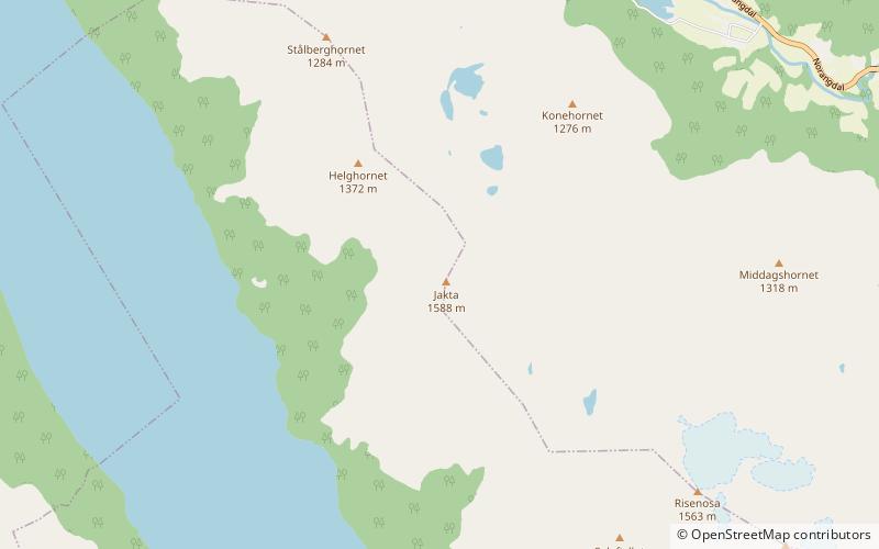
Jakta is a 1,588-metre tall mountain in the Sunnmørsalpene mountain range. It is located in the municipality of Ørsta in Møre og Romsdal county, Norway. Jakta lies 5 kilometres south of the nearby mountain Slogen and just across the Hjørundfjorden from the mountain Skårasalen. The village of Leira lies 5 kilometres south of Jakta. ()
Alternative names: First ascent: 1896Elevation: 5210 ftProminence: 1768 ftCoordinates: 62°10'18"N, 6°36'57"E
Location
Møre og Romsdal
ContactAdd
Social media
Add
Day trips
Jakta – popular in the area (distance from the attraction)
Nearby attractions include: Slogen, Kvitegga, Storfjorden, Skårasalen.


