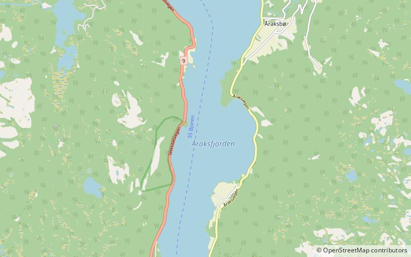
Åraksfjorden
Map

Map

Facts and practical information
Åraksfjorden is a lake in the municipality of Bygland in Agder county, Norway. The 11.96-square-kilometre lake is part of the Otra drainage basin. The northern part of the lake is fed directly by the river Otra. The southern part of the lake goes through a narrow channel which leads into the Byglandsfjorden. The villages of Frøysnes and Skåmedal are located along the western side of the lake and on the eastern side are the villages of Sandnes and Åraksbø. The Norwegian National Road 9 runs along the eastern side of the lake. ()
Alternative names: Area: 4.42 mi²Length: 19.88 miMaximum depth: 292 ftElevation: 669 ft a.s.l.Coordinates: 58°54'8"N, 7°43'15"E
Location
Aust-Agder
ContactAdd
Social media
Add
Day trips
Åraksfjorden – popular in the area (distance from the attraction)
Nearby attractions include: Reiårsfossen, Bygland Church, Sandnes Church, Austad Church.


