Uløya
Map

Map

Facts and practical information
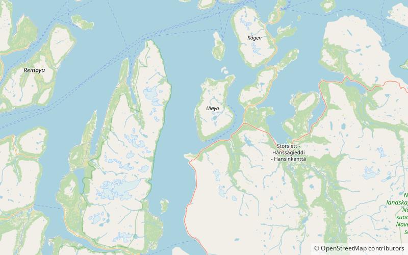
Uløya or Ulisuolu is an island in Troms og Finnmark county, Norway. The island is situated on the east side of the Lyngen fjord and it is divided between Skjervøy and Nordreisa municipalities. The island has an area of 78 km2, and the highest point is Blåtinden at 1,142 m. The population on the Skjervøy part of the island is 29, and the population on the Nordreisa part is 65. The two sides of the island are not connected by road. ()
Location
Troms
ContactAdd
Social media
Add
Day trips
Uløya – popular in the area (distance from the attraction)
Nearby attractions include: Spåkenes coastal fort, Rotsund Chapel, Lyngen.


