Spåtind

Gallery (1)
Map
Map
Facts and practical information
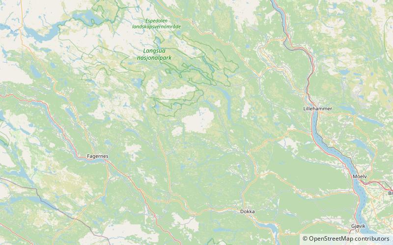
Spåtind is a mountain in the middle between Lillehammer and Fagernes. The summit lies on the border between the municipalities Nordre Land and Etnedal, both in the county of Innlandet. Spåtind is the highest mountain in the mountain area Synnfjell. ()
Location
Oppland
ContactAdd
Social media
Add