Langtunafjella, Sassen–Bünsow Land National Park

Map
Facts and practical information
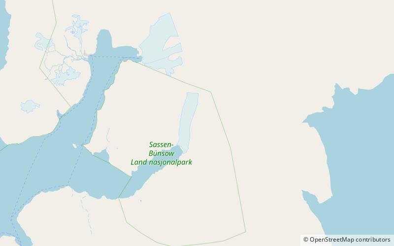
Langtunafjella is a mountain ridge in Sabine Land at Spitsbergen, Svalbard. It has a length of about twelve kilometers. The highest peak is 933 m.a.s.l. At the western side of the ridge is the glacier Tunabreen, and at the eastern side is Bogebreen. ()
Coordinates: 78°30'19"N, 17°34'16"E
Address
Sassen–Bünsow Land National Park
ContactAdd
Social media
Add
Day trips
Langtunafjella – popular in the area (distance from the attraction)
Nearby attractions include: Ultunafjella, Tunabreen.

