Bjørnafjorden
Map

Map

Facts and practical information
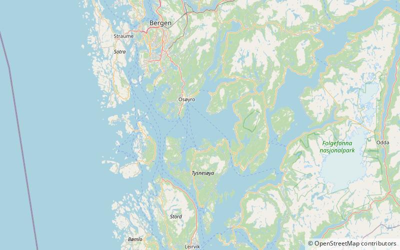
Bjørnafjorden is a fjord in Vestland county, Norway. It runs through the municipalities of Austevoll, Bjørnafjorden, and Tysnes. The large island of Tysnesøya lie along the south side of the Bjørnafjorden and the Bergen Peninsula and the mainland lie along the north and east sides of the fjord. The Fusafjorden split off from the main fjord on the north side by the village of Osøyro. The 30-kilometre fjord is about 10 kilometres wide and its maximum depth is 583 metres below sea level. ()
Alternative names: Length: 18.64 miWidth: 6.21 miMaximum depth: 1913 ftCoordinates: 60°6'58"N, 5°32'31"E
Location
Hordaland
ContactAdd
Social media
Add
Day trips
Bjørnafjorden – popular in the area (distance from the attraction)
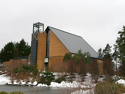
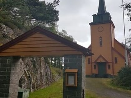
Nearby attractions include: Strandvik Church, Nore Neset kyrkje, Fusafjorden, Os Church.


