Strandavatnet

Gallery (7)
Map

Map

Gallery
Facts and practical information
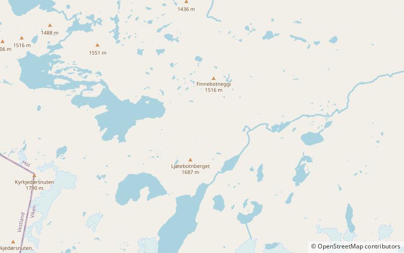
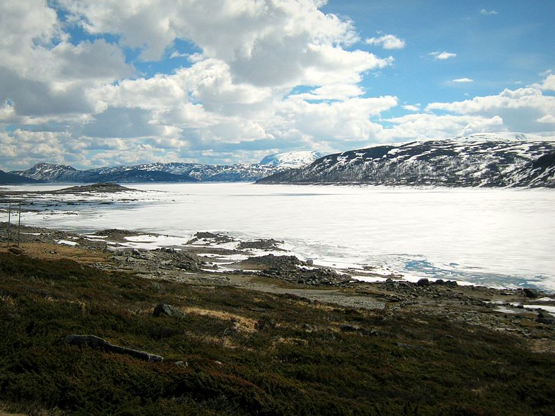
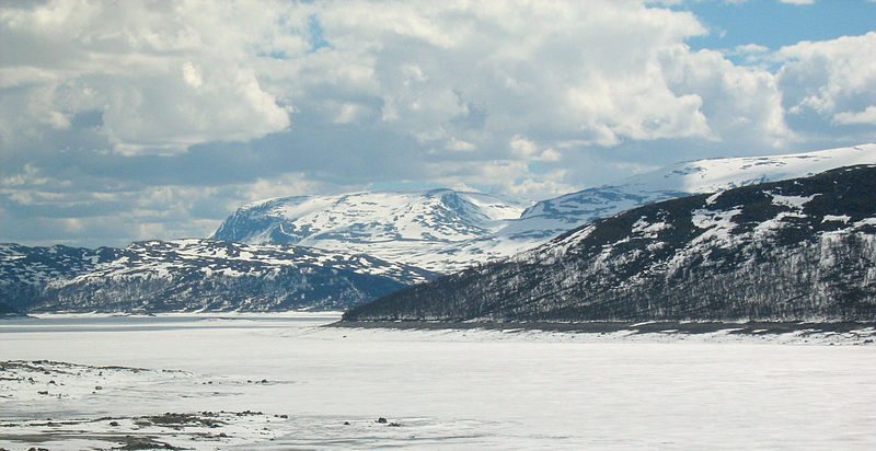
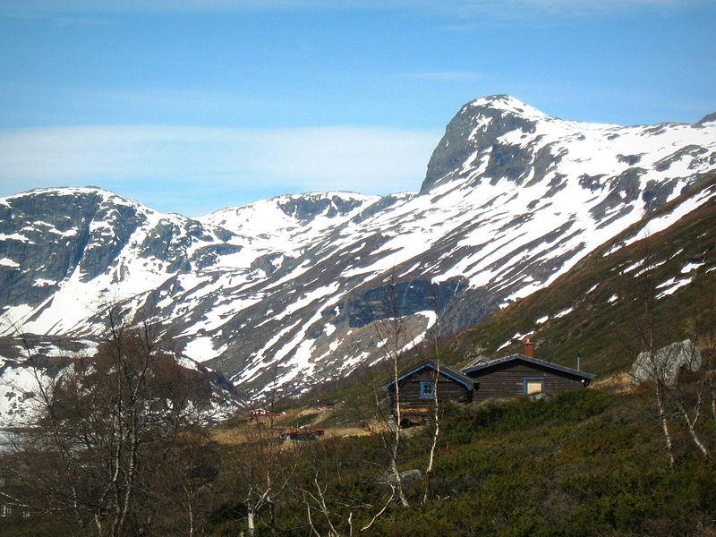
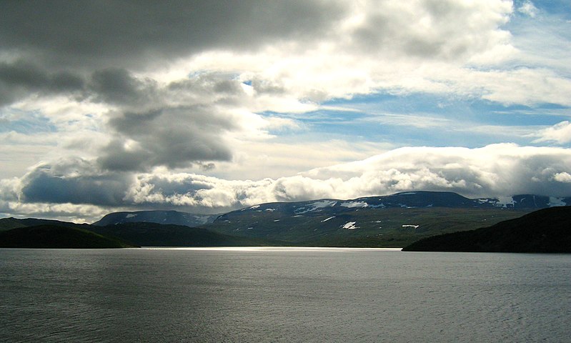
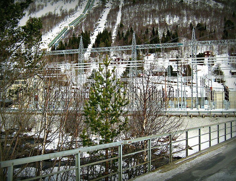
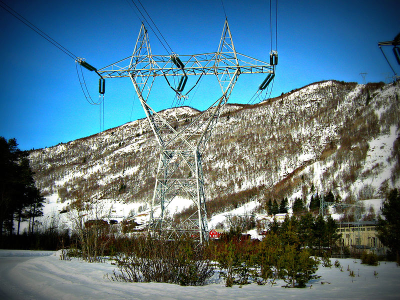
Strandavatnet is a lake in Hol municipality, Norway. The lake covers an area of 23.75 square kilometres, and lies 975 metres above sea level.' The lake is a reservoir for the Rud hydroelectric powerstation in Hovet, Buskerud. In 1952/1953 a dam was constructed which lifted the lake level 28 meters, thus the lake varies between 950 and 978 m above sea level. ()
Location
Buskerud
ContactAdd
Social media
Add
Day trips