Gjerstadfjellet
Map
Facts and practical information
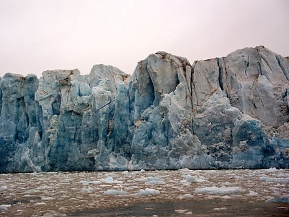
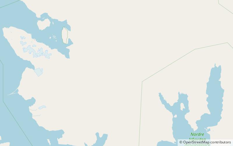
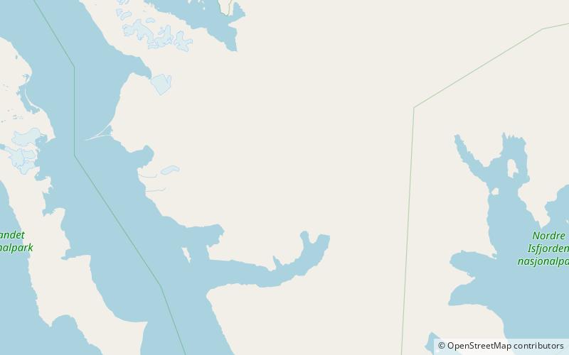
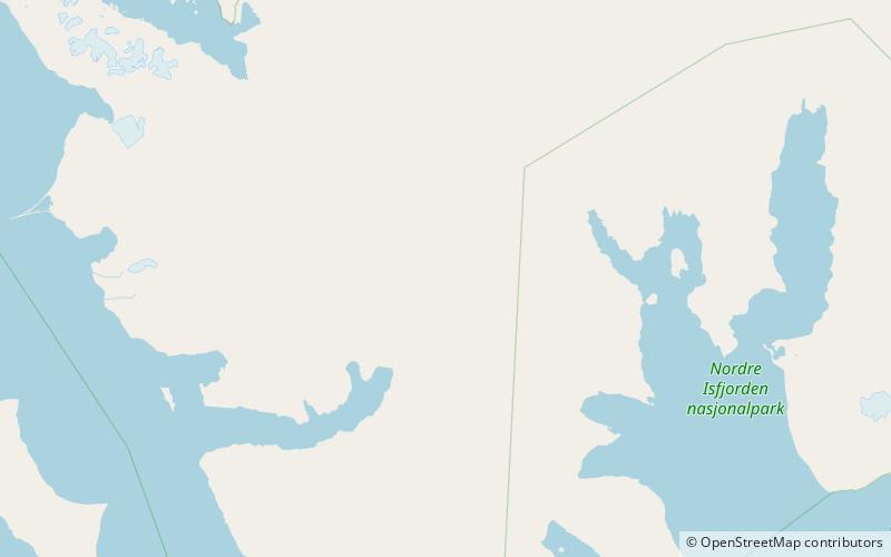
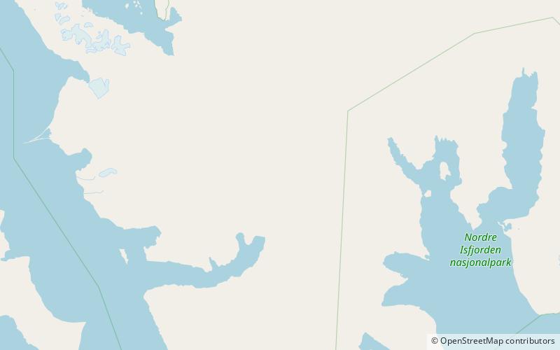
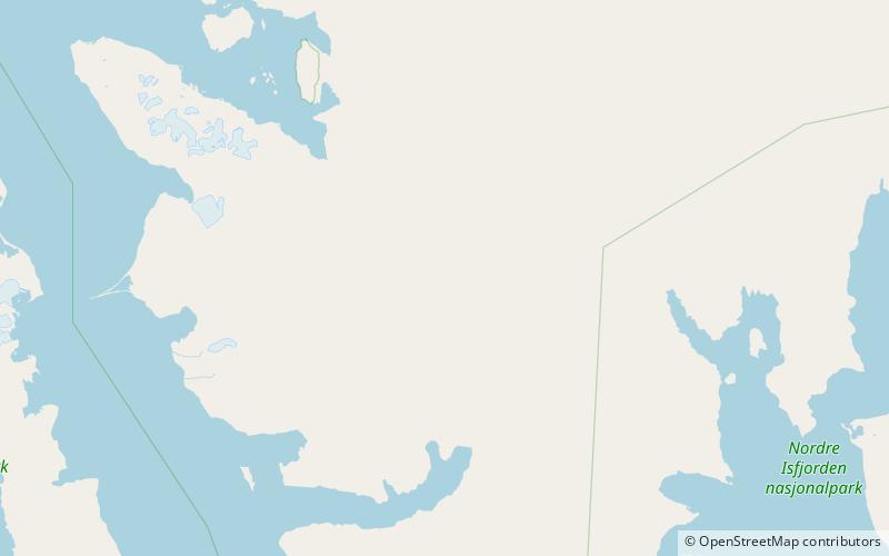
Gjerstadfjellet is a mountain in Oscar II Land at Spitsbergen, Svalbard. It has a height of 1,012 m.a.s.l. and is located south of the glacier Kongsvegen, west of Kongsvegpasset. The mountain is named after Arctic explorer Magnus Gjerstad. ()
Coordinates: 78°44'35"N, 13°10'10"E
Location
Svalbard
ContactAdd
Social media
Add
Day trips
Gjerstadfjellet – popular in the area (distance from the attraction)
Nearby attractions include: Kongsvegen glacier, Kongsvegsåta, Haraldfjellet, Årefjellet.
