Bru
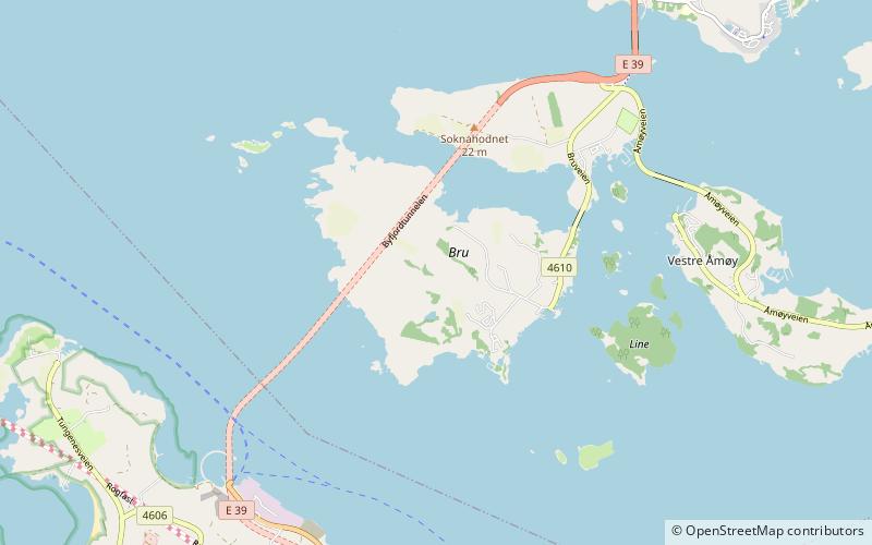
Map
Facts and practical information
Bru is an island in Stavanger municipality in Rogaland county, Norway. The 3-square-kilometre island lies south of the Boknafjorden, just off the coast of the Stavanger Peninsula, along the Byfjorden. The highest point on the island is the 92-metre tall mountain, Brufjellet. The island sits in a group of islands with Sokn and Mosterøy to the north and Åmøy to the east. ()
Location
Rogaland
ContactAdd
Social media
Add
Day trips
Bru – popular in the area (distance from the attraction)
Nearby attractions include: Utstein Abbey, Tungenes fyr, Utstein Church, Svarthola.


