Sveabreen

Gallery (1)
Map
Map
Facts and practical information
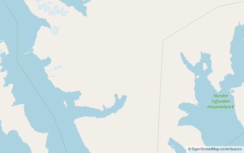
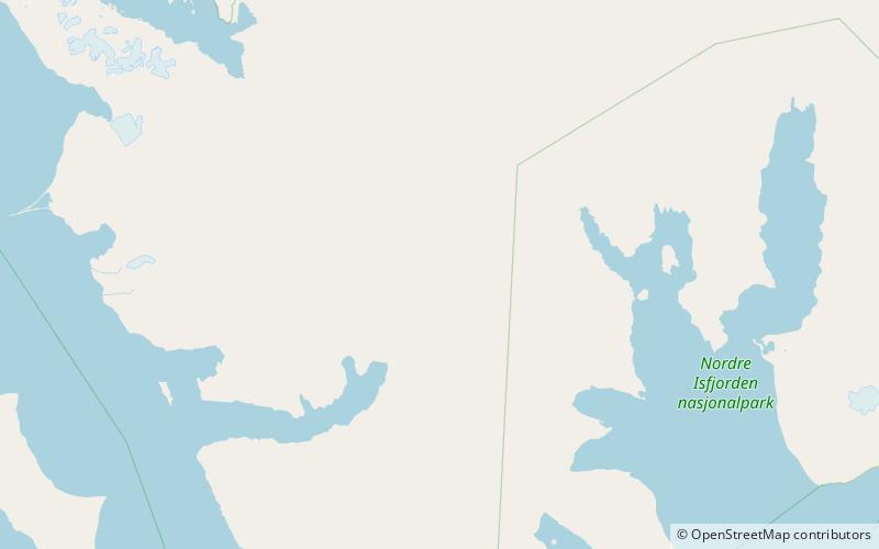
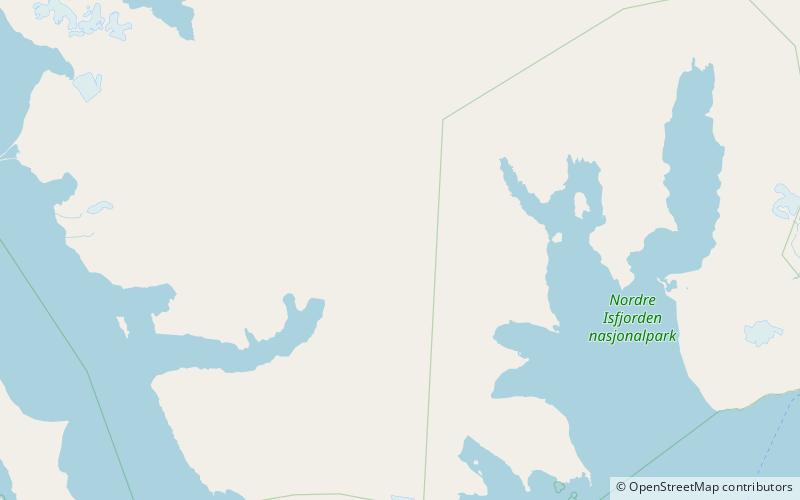
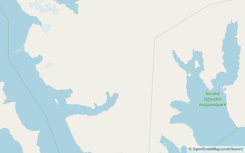
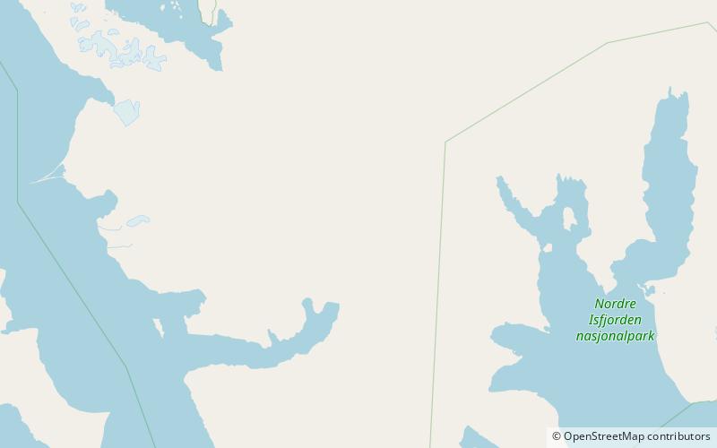
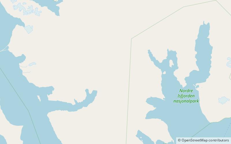
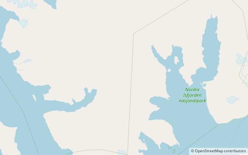
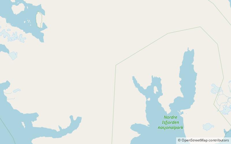
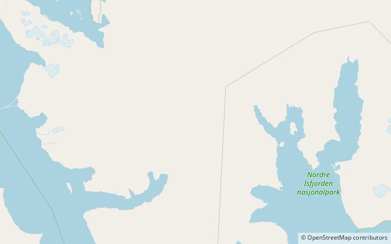
Sveabreen is a glacier between Oscar II Land and James I Land at Spitsbergen, Svalbard. It has a length of 30 kilometer, stretching from Kongsvegpasset at an altitude about 750 meters, and debouching into Nordfjorden. ()
Location
Svalbard
ContactAdd
Social media
Add
Day trips