Skjervøy Bridge
Map

Map

Facts and practical information
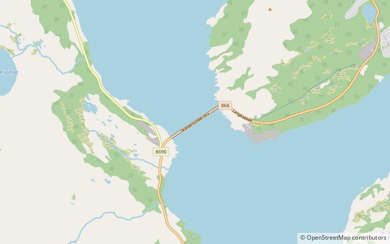
The Skjervøy Bridge or Skattørsundet Bridge is a beam bridge in Skjervøy Municipality that crosses the Skattørsundet strait between the islands of Kågen and Skjervøya in Troms og Finnmark county, Norway. The 804-metre-long bridge has 40 spans, the longest of which is 32 metres. Skjervøy Bridge was opened in 1971. Together with the Maursund Tunnel, it connects the village of Skjervøy to the mainland. ()
Local name: Skattørsundet bru Opened: 1971 (55 years ago)Length: 2638 ftCoordinates: 70°0'25"N, 20°54'36"E
Location
Troms
ContactAdd
Social media
Add
Day trips
Skjervøy Bridge – popular in the area (distance from the attraction)
Nearby attractions include: Skjervøy Church, Kågen, Skjervøy.


