Carl Berners plass, Oslo
Map
Gallery
Facts and practical information
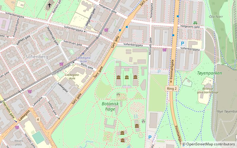
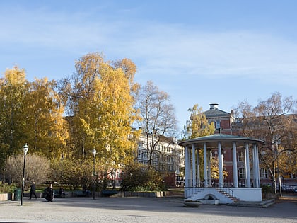
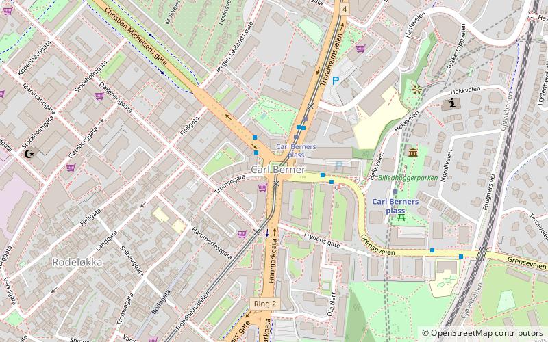
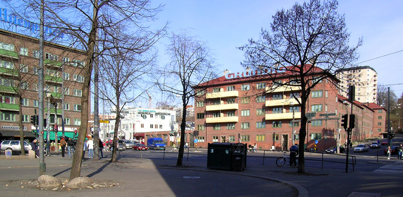
Carl Berners plass is a square in Oslo, Norway. It is located in the borough Helsfyr, south of Sinsen. The Sinsen Line of the Oslo Tramway runs over the square. The colloquial expression for the square is just "Carl Berner". Around the square is a large number of shops as well as inexpensive restaurants. At the southern end of the area is the large Tøyen Park. ()
Address
Grünerløkka (Rodeløkka)Oslo
ContactAdd
Social media
Add
Day trips
Carl Berners plass – popular in the area (distance from the attraction)
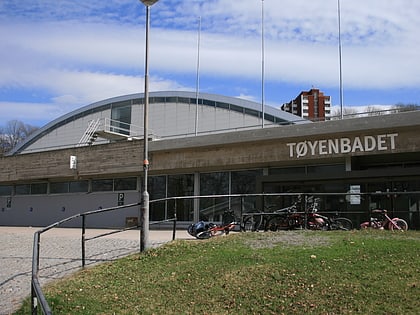
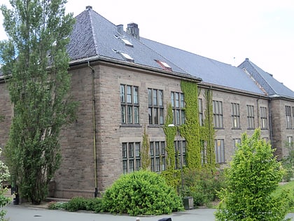
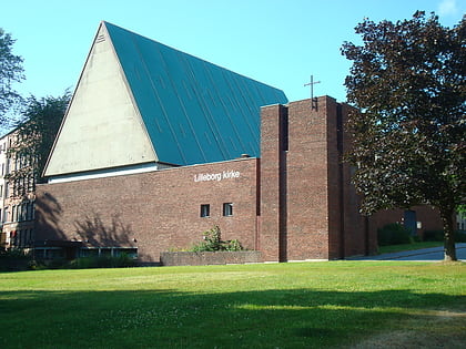
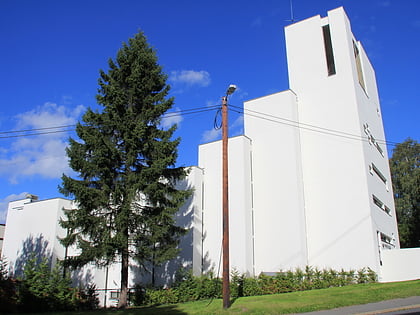
Nearby attractions include: University Botanical Garden, Tøyenbadet, Natural History Museum at the University of Oslo, Lilleborg Church.
Frequently Asked Questions (FAQ)
Which popular attractions are close to Carl Berners plass?
Nearby attractions include Rodeløkka, Oslo (7 min walk), Rosenhoff, Oslo (8 min walk), Sofienberg Church, Oslo (9 min walk), Keyserløkka, Oslo (10 min walk).
How to get to Carl Berners plass by public transport?
The nearest stations to Carl Berners plass:
Tram
Train
Metro
Bus
Tram
- Carl Berners plass (2 min walk)
- Sofienberg (7 min walk)
Train
- Carl Berners plass (4 min walk)
- Tøyen (11 min walk)
Metro
- Carl Berners plass (4 min walk)
- Løren (15 min walk)
Bus
- Oslo Bus Terminal (30 min walk)
- Helsfyr T (33 min walk)


