Løvlandfjellet

Map
Facts and practical information
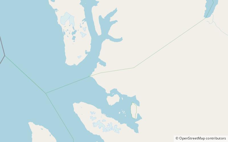
Løvlandfjellet is a mountain in Haakon VII Land at Spitsbergen, Svalbard. It reaches a height of 943 m.a.s.l. and is located north of Kongsfjorden, between the glaciers of Junibreen, Løvlandbreen, Svansbreen, Maibreen and Fjortende Julibreen. The mountain is named after Norwegian politician Jørgen Løvland. ()
Coordinates: 79°5'9"N, 12°6'41"E
Location
Svalbard
ContactAdd
Social media
Add
Day trips
Løvlandfjellet – popular in the area (distance from the attraction)
Nearby attractions include: Krossfjorden, Blomstrandbreen, Ole Hansenkammen, Mercantonfjellet.


