Altevatnet
Map

Map

Facts and practical information
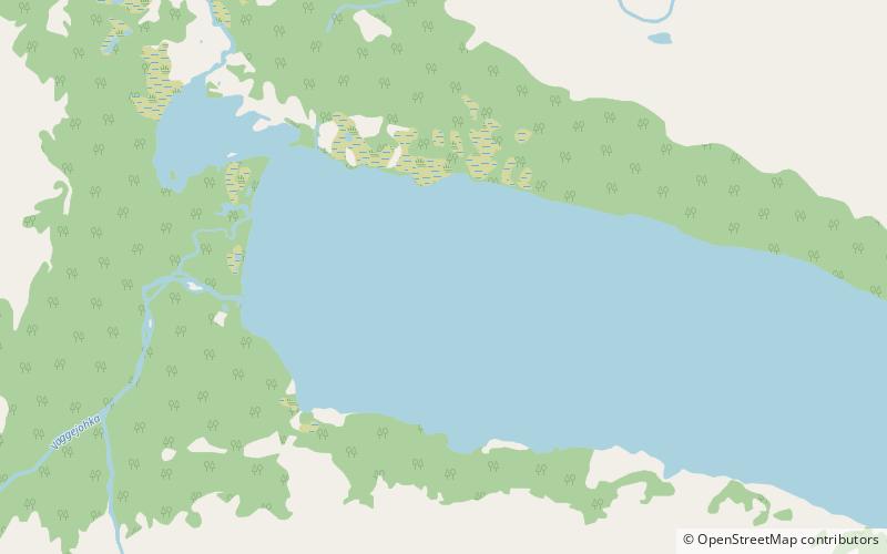
Altevatnet or Álddesjávri is Norway’s 11th largest lake. The 79.71-square-kilometre lake lies in the Bardu Municipality in Troms og Finnmark county, Norway. The lake is the largest lake in the county. It is approximately 38 kilometres long and about 2.5 kilometres wide. The lake is regulated by a dam on the northwestern end of the lake. The surface lies 489 metres above sea level and reaches a maximum depth of 99 metres below the surface of the lake. ()
Alternative names: Area: 30.75 mi²Length: 23.61 miWidth: 6562 ftMaximum depth: 325 ftElevation: 1631 ft a.s.l.Coordinates: 68°34'12"N, 19°23'39"E
Location
Troms
ContactAdd
Social media
Add
Day trips
Altevatnet – popular in the area (distance from the attraction)
Nearby attractions include: Geavdnjajávri.

