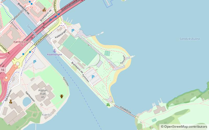
Kadettangen, Oslo
Map
Facts and practical information
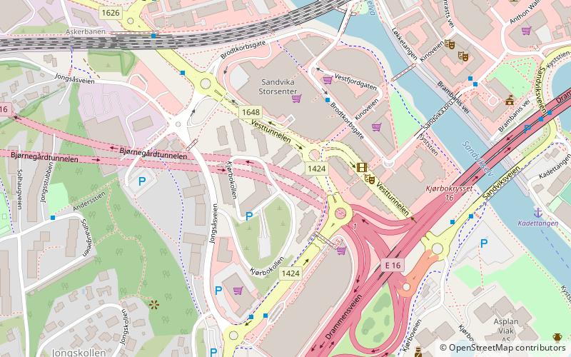
Kadettangen is a place located in Oslo (Akershus county) and belongs to the category of beach.
It is situated at an altitude of 23 feet, and its geographical coordinates are 59°53'16"N latitude and 10°31'54"E longitude.
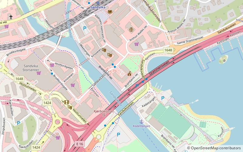
Planning a visit to this place, one can easily and conveniently get there by public transportation. Kadettangen is a short distance from the following public transport stations: Kadettangen (ferry, 4 min walk), Sandvika (train, 11 min walk), Sandvika bussterminal (bus, 11 min walk).
Among other places and attractions worth visiting in the area are: Bærum rådhus (city hall, 7 min walk), Kalvøya (island, 9 min walk), Sandvika Tunnel, Bærum (tunnel, 9 min walk).
Coordinates: 59°53'16"N, 10°31'54"E
Address
Oslo
ContactAdd
Social media
Add
Getting there by public transportation
Public transportation stops near this location
- Bus
- Train
- Ferry
 Bus
Bus
- Calculate routeKadettangen 4 min walk
- Calculate routeBorøya 25 min walk
- Calculate routeSandvika 11 min walk
- Calculate routeSlependen 26 min walk
- Calculate routeBlommenholm 27 min walk
- Calculate routeSandvika bussterminal 11 min walk
- Calculate routeSandvika storsenter 13 min walk
- Calculate routeJong 27 min walk
- Calculate routeNedre Ås 28 min walk
Day trips


Frequently Asked Questions (FAQ)
Which popular attractions are close to Kadettangen?
Nearby attractions include Bærum rådhus, Oslo (7 min walk), Kalvøya, Oslo (9 min walk), Sandvika Tunnel, Bærum (9 min walk), Kjørbo Tunnel, Bærum (11 min walk).
How to get to Kadettangen by public transport?
The nearest stations to Kadettangen:
Ferry
Train
Bus
Ferry
- Kadettangen (4 min walk)
- Borøya (25 min walk)
Train
- Sandvika (11 min walk)
- Slependen (26 min walk)
Bus
- Sandvika bussterminal (11 min walk)
- Sandvika storsenter • Lines: 163, 164 (13 min walk)