Frostisen
Map

Map

Facts and practical information
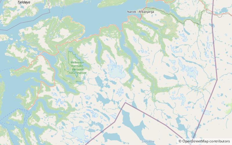
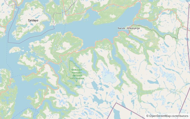
Frostisen or Ruostajiekņa is a glacier in Narvik Municipality in Nordland county, Norway. It is one of the larger plateau glaciers in Norway. Frostisen covers an area of about 25 square kilometres. The elevation of the glacier ranges from 840 to 1,710 metres above sea level. The glacier lies near the Skjomen fjord, a branch of the Ofotfjorden, just southwest of the town of Narvik. The village of Elvegård lies about 6 kilometres east of the glacier. The lakes Geitvatnet, Isvatnet, Kjelvatnet, Nordre Bukkevatnet and Søre Bukkevatnet all lie just to the southwest of the glacier. ()
Alternative names: Maximum elevation: 5610 ftMinimal elevation: 2756 ftCoordinates: 68°13'27"N, 17°11'34"E
Location
Nordland
ContactAdd
Social media
Add
Day trips
Frostisen – popular in the area (distance from the attraction)
Nearby attractions include: Skjomen, Storvatnet.


