Fyllingsdalen, Bergen
Map
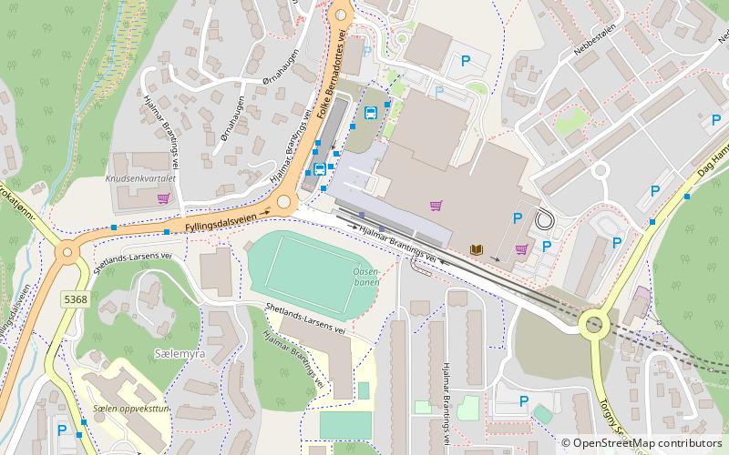
Map

Facts and practical information
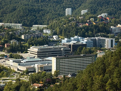
Fyllingsdalen is a borough of the city of Bergen in Vestland county, Norway. The borough is located southwest of the city centre in the Fyllingsdalen valley, west of the mountain Løvstakken. The neighbourhoods of Fyllingsdalen mainly consist of fairly large apartment buildings with little industry or commerce. ()
Address
Fyllingsdalen (Nordre Fyllingen)Bergen
ContactAdd
Social media
Add
Day trips
Fyllingsdalen – popular in the area (distance from the attraction)
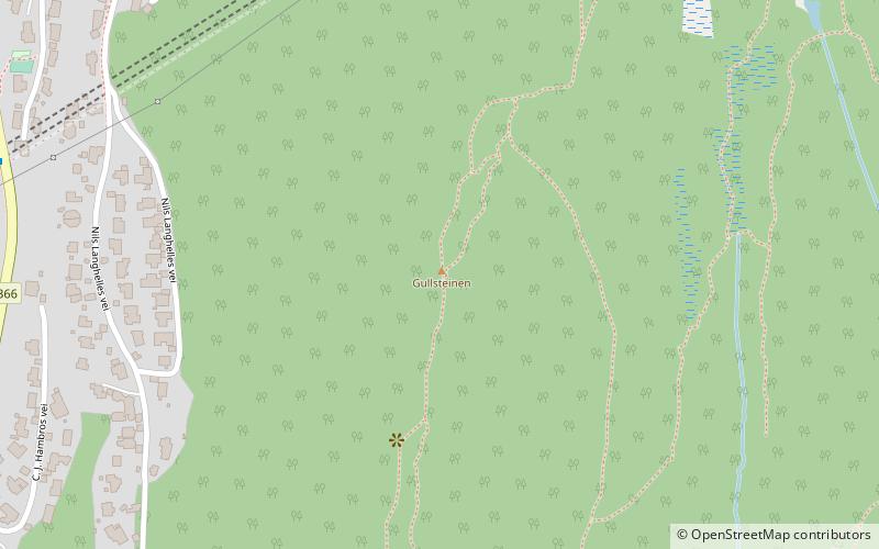
Nearby attractions include: Løvstakken, Fyllingsdalen kirke, Gullsteinen, Sælen Church.
Frequently Asked Questions (FAQ)
Which popular attractions are close to Fyllingsdalen?
Nearby attractions include Fyllingsdalen kirke, Bergen (11 min walk), Gullsteinen, Bergen (22 min walk), Sælen Church, Bergen (22 min walk), Bønestoppen, Bergen (24 min walk).
How to get to Fyllingsdalen by public transport?
The nearest stations to Fyllingsdalen:
Bus
Bus
- B • Lines: 50E (3 min walk)
- Oasen terminal (3 min walk)
