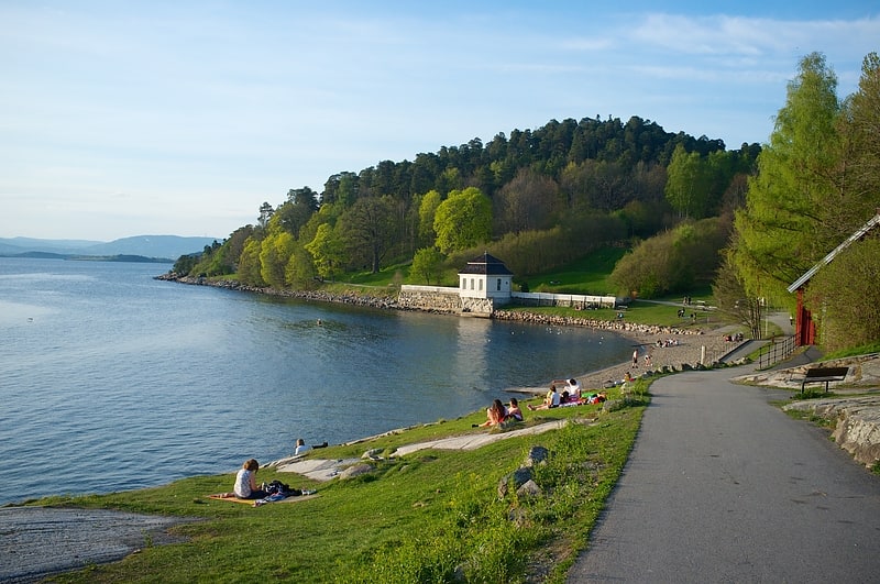
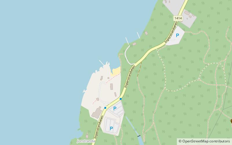
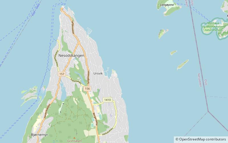
Trek Zone

Ingierstrand, Oslo

#188 among attractions in Oslo

Beach
Ingierstrand location map
Map

Facts and practical information

Ingierstrand is a place located in Oslo (Akershus county) and belongs to the category of beach.

It is situated at an altitude of 49 feet, and its geographical coordinates are 59°49'6"N latitude and 10°44'59"E longitude.

Among other places and attractions worth visiting in the area are: Hvervenbukta (watersports, 33 min walk), Ljan (neighbourhood, 40 min walk), Bunnefjorden (nature, 42 min walk).

Coordinates: 59°49'6"N, 10°44'59"E
Address

Oslo Norway

ContactAdd
Social media
Add
Day trips

Ingierstrand – popular in the area (distance from the attraction)

Nearby attractions include: Hvervenbukta, Deichman Holmlia, Mortensrud Church, Gjersjøen.

  • hvervenbukta oslo1.3 miNE
  • deichman holmlia oslo1.9 miNE
  • mortensrud church oslo3.5 miNE
  • gjersjoen2.6 miSE
  • sondre nordstrand oslo2.2 miNE
  • ljan church oslo2.3 miNE
  • hellviktangen oslo location map
    3.2 miNW
  • bunnefjorden oslo1.6 miNW
  • katten oslo2.8 miNE
  • malmoya oslo3.3 miN
  • malmoykalven oslo3.2 miN

Where to next? Visit akershus Akershus region page or discover the top tourist attractions in Norway.