Djupfjord Bridge
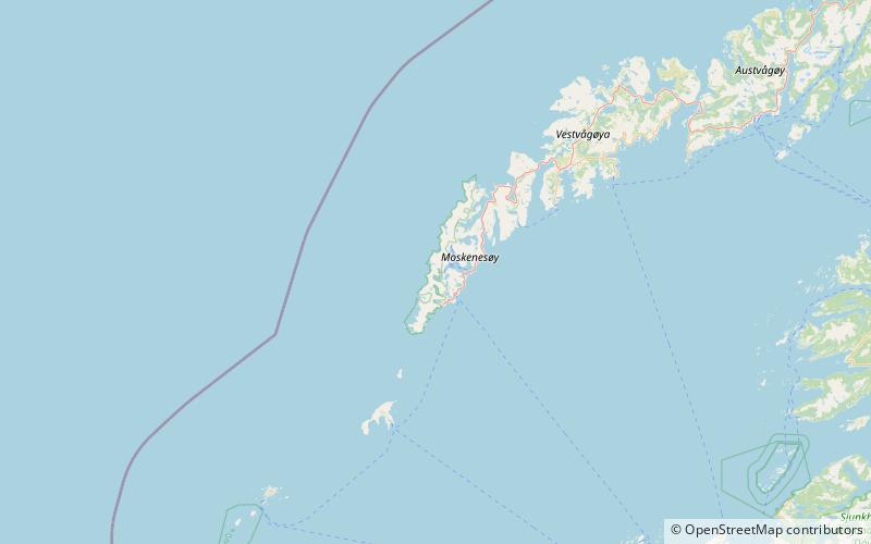
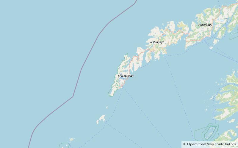
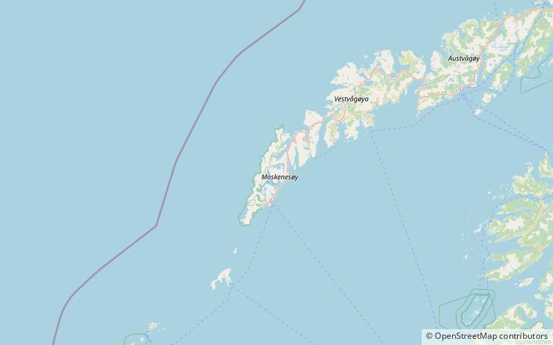
Map
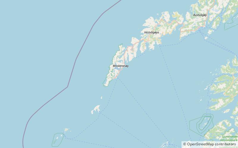
Map

Facts and practical information
The Djupfjord Bridge is a bridge that crosses the Djupfjorden in Moskenes Municipality in Nordland county, Norway. The bridge is 259 metres long. It was opened on 3 June 2003 and replaced an older bridge at the same place. The building of the bridge took two years, which was longer than planned, due to problems with the strong current in the fjord, waves and wind. The bridge, access roads and demolition of the old bridge cost approximately 57 million kr. ()
Local name: Djupfjordbrua Opened: 3 June 2003 (22 years ago)Length: 850 ftCoordinates: 67°54'49"N, 13°4'39"E
Location
Nordland
ContactAdd
Social media
Add
Day trips
Djupfjord Bridge – popular in the area (distance from the attraction)
Nearby attractions include: Norsk Fiskeværsmuseum, Moskenes Church, Reine Church, Lofoten Stockfish Museum.


