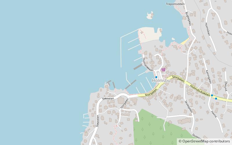
Holmsbu havn, Holmsbu

Gallery (1)
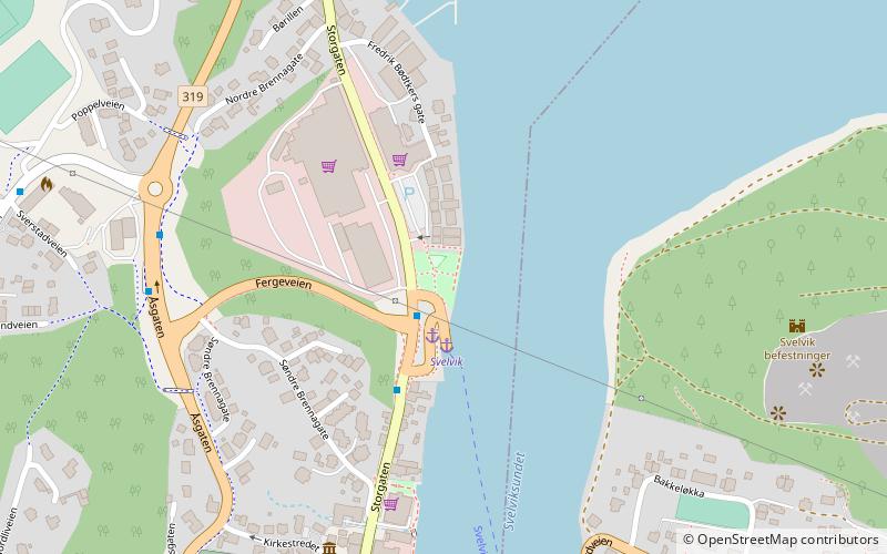
Map
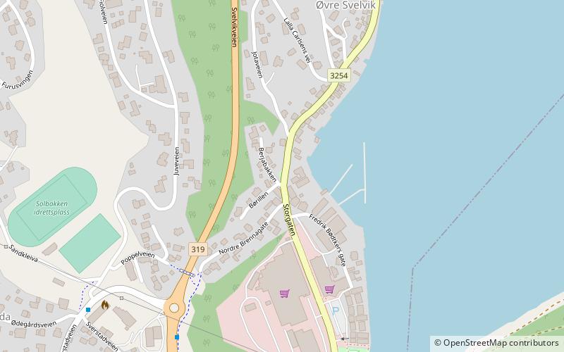
Map
Facts and practical information
Holmsbu havn (address: Storgaten 17) is a place located in Holmsbu (Buskerud county) and belongs to the category of sailing, marina.
It is situated at an altitude of 7 feet, and its geographical coordinates are 59°33'38"N latitude and 10°25'27"E longitude.
Among other places and attractions worth visiting in the area are: Holmsbu billedgalleri (museum, 15 min walk), Svelvik folkebibliotek, Svelvik (library, 84 min walk), Svelvik museum, Svelvik (museum, 96 min walk).
Coordinates: 59°33'38"N, 10°25'27"E
Address
Storgaten 17Holmsbu
ContactAdd
Social media
Add
Day trips