Djupvatnet
Map
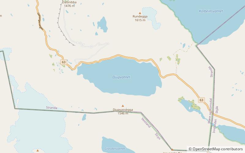
Map

Facts and practical information
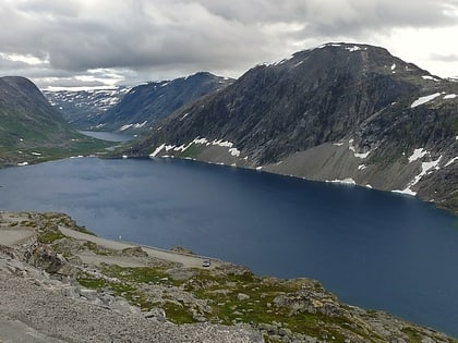
Djupvatnet is a lake in extreme southeastern Stranda Municipality in Møre og Romsdal county, Norway. The 2-square-kilometre lake lies at 1,016 metres above sea level. The lake is part of the headwaters of the Otta river system which flows southeast into the lake Breiddalsvatnet and on into Oppland county. ()
Alternative names: Length: 7874 ftWidth: 3609 ftMaximum depth: 656 ftElevation: 3333 ft a.s.l.Coordinates: 62°1'39"N, 7°18'4"E
Location
Møre og Romsdal
ContactAdd
Social media
Add
Day trips
Djupvatnet – popular in the area (distance from the attraction)
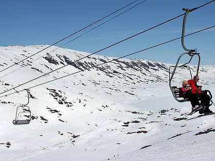
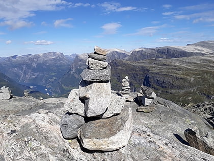
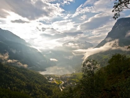
Nearby attractions include: Stryn Sommerski, Dalsnibba, Geiranger Church, Flydalsjuvet.
