Rosskreppfjorden
Map

Gallery

Facts and practical information
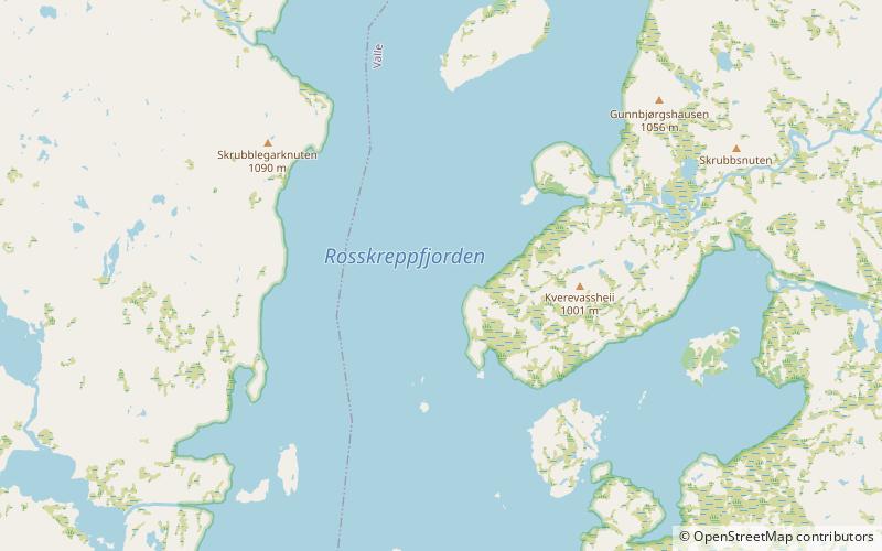
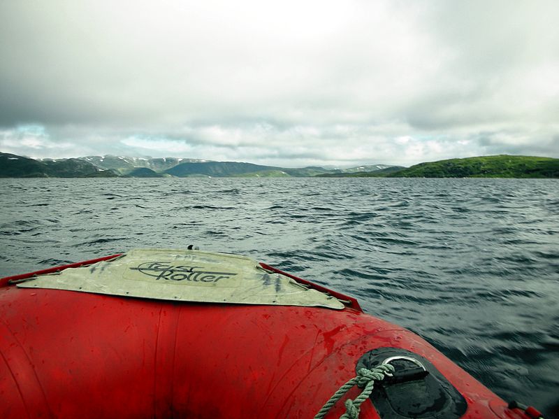
Rosskreppfjorden is a lake in Norway. The 29.51-square-kilometre lake lies on the border between the municipalities of Valle and Sirdal in Agder county. The lake is part of the Kvina river system and has a hydroelectric power plant in a dam on the south end of the lake. The dam keeps the lake at an elevation of about 929 to 890 metres above sea level. ()
Alternative names: Area: 11.49 mi²Length: 6.9 miWidth: 3.48 miElevation: 3028 ft a.s.l.Coordinates: 59°5'21"N, 7°10'12"E
Location
Aust-Agder
ContactAdd
Social media
Add
Day trips
Rosskreppfjorden – popular in the area (distance from the attraction)
Nearby attractions include: Urddalsknuten, Kolsvatnet.


