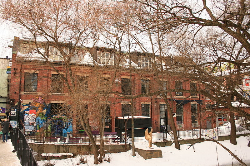
Vulkan, Oslo
Facts and practical information
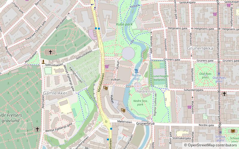
Vulkan (address: Maridals Veien 21) is a place located in Oslo (Oslo county) and belongs to the category of neighbourhood, climbing.
It is situated at an altitude of 56 feet, and its geographical coordinates are 59°55'22"N latitude and 10°45'8"E longitude.
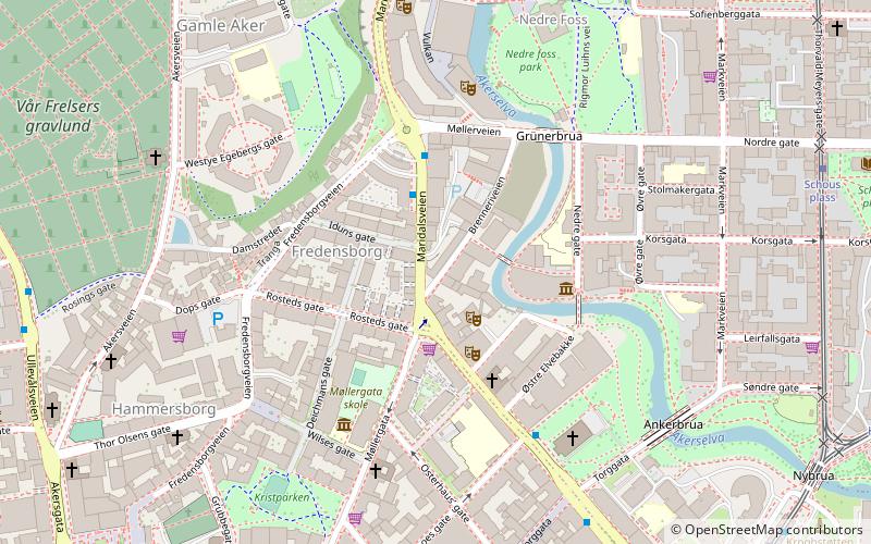
Planning a visit to this place, one can easily and conveniently get there by public transportation. Vulkan is a short distance from the following public transport stations: Olaf Ryes plass (tram, 7 min walk), Stortinget (metro, 19 min walk), Oslo Bus Terminal (bus, 22 min walk), Oslo Central Station (train, 21 min walk), Rådhusbryggen (ferry, 29 min walk).
Among other places and attractions worth visiting in the area are: Nedre foss park (park, 2 min walk), Kuba park (park, 3 min walk), Old Aker Church (church, 5 min walk).
Maridals Veien 21Grünerløkka (Grünerløkka vest)Oslo
- Metro
- Bus
- Tram
- Train
- Ferry
 Metro
Metro
- Calculate routeOlaf Ryes plass 7 min walk
- Calculate routeSchous plass 8 min walk
- Calculate routeBirkelunden 11 min walk
- Calculate routeHeimdalsgata 12 min walk
- Calculate routeStortinget 19 min walk
- Calculate routeJernbanetorget 19 min walk
- Calculate routeGrønland 20 min walk
- Calculate routeNational Theatre 22 min walk
- Calculate routeOslo Bus Terminal 22 min walk
- Calculate routeOslo Central Station 21 min walk
- Calculate routeCarl Berners plass 25 min walk
- Calculate routeNational Theatre 25 min walk
- Calculate routeTøyen 26 min walk
- Calculate routeRådhusbryggen 29 min walk
- Calculate routeSalt brygge 29 min walk
- Calculate routeAker brygge 30 min walk
- Calculate routeRådhuset 30 min walk


Frequently Asked Questions (FAQ)
Which popular attractions are close to Vulkan?
How to get to Vulkan by public transport?
Tram
- Olaf Ryes plass (7 min walk)
- Schous plass (8 min walk)
Metro
- Stortinget (19 min walk)
- Jernbanetorget (19 min walk)
Bus
- Oslo Bus Terminal (22 min walk)
Train
- Oslo Central Station (21 min walk)
- Carl Berners plass (25 min walk)
Ferry
- Rådhusbryggen • Lines: B9 (29 min walk)
- Salt brygge • Lines: B9 (29 min walk)