Kalandsvatnet
Map

Map

Facts and practical information
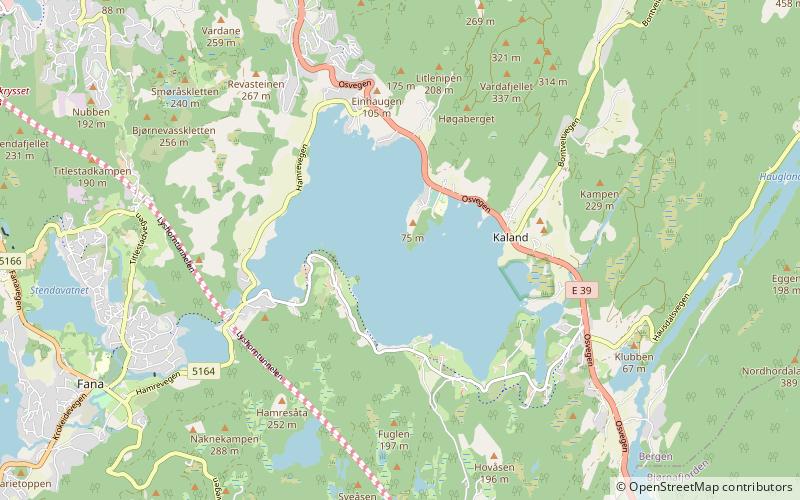
Kalandsvatnet is the largest lake in the municipality of Bergen in Vestland county, Norway. The 3.5-square-kilometre lake is located in the borough of Fana, just east of the village of Fanahammeren. The European route E39 highway runs along the northeastern shore of the lake, about 12 kilometres south of the city centre of Bergen. ()
Alternative names: Length: 9843 ftWidth: 8727 ftElevation: 174 ft a.s.l.Coordinates: 60°16'29"N, 5°23'54"E
Location
Hordaland
ContactAdd
Social media
Add
Day trips
Kalandsvatnet – popular in the area (distance from the attraction)
Nearby attractions include: Gamlehaugen, Troldhaugen, Fantoft Stave Church, Lagunen Storsenter.


