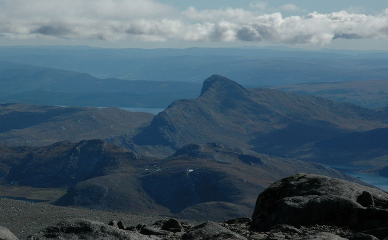
Bitihorn

Gallery (2)
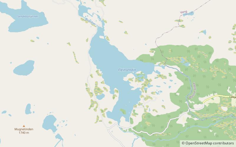
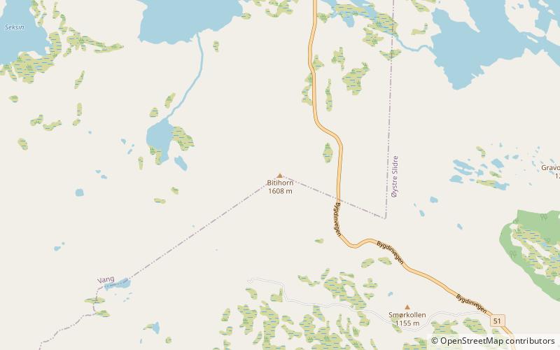
Map
Map
Gallery
Facts and practical information
Bitihorn is a mountain in the southernmost outskirts of Jotunheimen, Norway. It is situated due west of national route 51, and is therefore a landmark for tourists following that popular route. ()
Alternative names: First ascent: 1811Elevation: 5272 ftProminence: 1680 ftCoordinates: 61°17'40"N, 8°47'58"E
Location
Oppland
ContactAdd
Social media
Add
Day trips