Hellfjorden

Map
Facts and practical information
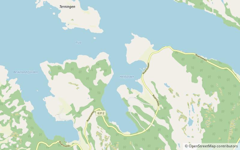
Hellfjorden is an arm of the Brandsfjorden in the municipality of Åfjord in Trøndelag county, Norway. The 2.5-kilometre long fjord runs from the mountain Nordfjellet to the north where it joins the Brandsfjorden near the island of Terningen. The village of Sumstad lies along the eastern side of the fjord. The Norwegian County Road 14 runs along the southern and eastern sides of the fjord. ()
Location
Sør-Trøndelag
ContactAdd
Social media
Add
Day trips
Hellfjorden – popular in the area (distance from the attraction)
Nearby attractions include: Roan Church, Kaura Lighthouse.

