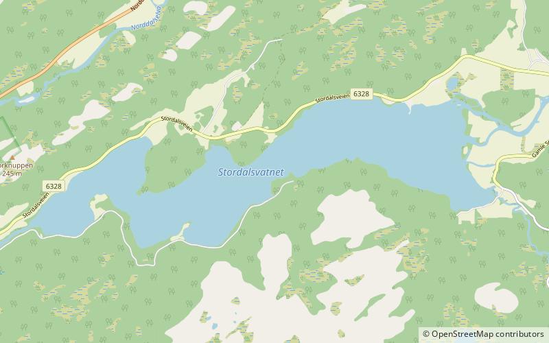
Stordalsvatnet
Map

Map

Facts and practical information
Stordalsvatnet is a lake in the municipality of Åfjord in Trøndelag county, Norway. The lake is located on the Stordalselva river which flows into the Åfjorden. The lake lies between the villages of By and Årnes. ()
Alternative names: Length: 3.42 miWidth: 3281 ftElevation: 62 ft a.s.l.Coordinates: 63°58'26"N, 10°19'44"E
Location
Sør-Trøndelag
ContactAdd
Social media
Add
Day trips
Stordalsvatnet – popular in the area (distance from the attraction)
Nearby attractions include: Åfjord Church, Åfjord.


