Dyrøy Bridge

Gallery (1)
Map
Map
Facts and practical information
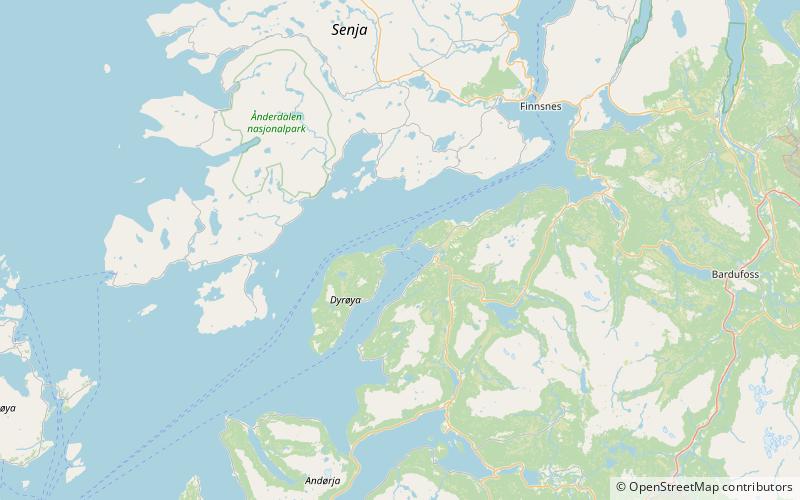
Dyrøy Bridge is a cantilever bridge in Dyrøy Municipality in Troms og Finnmark county, Norway. The bridge crosses the Dyrøysundet strait connecting the mainland to the island of Dyrøya. The 570-metre-long bridge opened on 29 August 1994. The bridge replaced a ferry connection to the island. ()
Local name: Dyrøybrua Opened: 29 August 1994 (31 years ago)Length: 1870 ftCoordinates: 69°5'23"N, 17°35'39"E
Location
Troms
ContactAdd
Social media
Add
Day trips