Ormsavatnet

Map
Facts and practical information
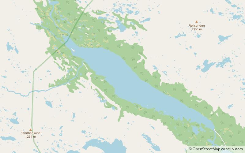
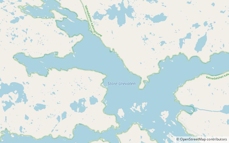
Ormsavatnet is a lake in the municipality of Bykle in Agder county, Norway. The 3.11-square-kilometre lake flows into the Vatndalsvatnet via a dam and canal. The lake is located in the Setesdalsheiene mountains near the lakes Store Urevatn, Holmevatnet, and Hartevatnet. The nearest village area is Hovden, about 14 kilometres to the northeast. The mountain Kaldafjellet lies about 5 kilometres to the west of the lake. ()
Alternative names: Length: 3.42 miWidth: 2953 ftElevation: 2831 ft a.s.l.Coordinates: 59°31'17"N, 7°6'56"E
Location
Aust-Agder
ContactAdd
Social media
Add
Day trips
Ormsavatnet – popular in the area (distance from the attraction)
Nearby attractions include: Store Urevatn, Steinheii.

