Oppstrynsvatn

Gallery (1)
Map
Map
Facts and practical information
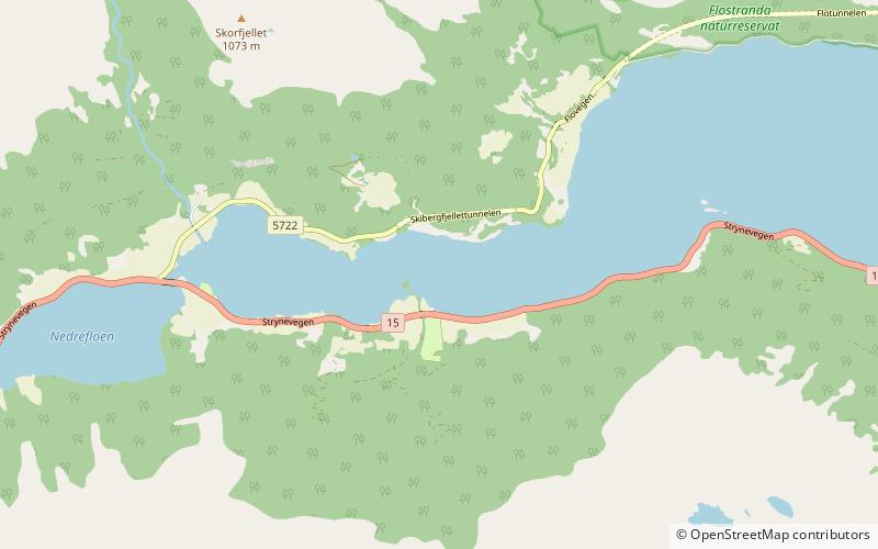
Oppstrynsvatn is a lake in the municipality of Stryn in Vestland county, Norway. It is located about 8 kilometres east of the village of Stryn. The villages of Flo, Oppstryn, and Erdal are located on the shores of the lake. ()
Local name: Oppstrynsvatnet Area: 8.85 mi²Length: 9.94 miWidth: 7218 ftElevation: 95 ft a.s.l.Coordinates: 61°56'6"N, 6°55'20"E
Location
Sogn og Fjordane
ContactAdd
Social media
Add
Day trips