Sarp Bridge, Sarpsborg
Map

Gallery
Facts and practical information
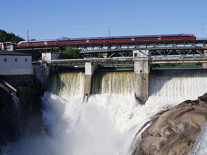
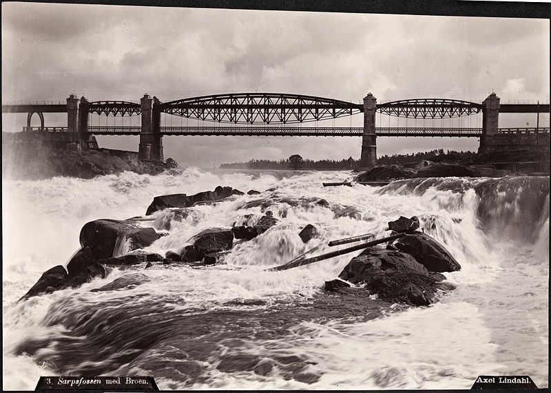
Sarp Bridge is a series of bridges which span across Sarpefossen, a waterfall of the river Glomma in Sarpsborg, Norway. In the current arrangement, one bridge carries a pathway, one carries a single track of the Østfold Line and one carries two lanes of National Road 118. The road and pathway bridges are about 91 meters long, while the railway bridge is 247 meters. ()
Local name: Sarpebrua Opened: 25 February 1854 (171 years ago)Length: 810 ftCoordinates: 59°16'36"N, 11°7'56"E
Address
Sarpsborg
ContactAdd
Social media
Add
Day trips
Sarp Bridge – popular in the area (distance from the attraction)
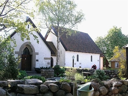
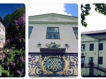
Nearby attractions include: Borgarsyssel Museum, Sarp Falls, Hafslund manor, Hafslundsøy.
Frequently Asked Questions (FAQ)
Which popular attractions are close to Sarp Bridge?
Nearby attractions include Sarp Falls, Sarpsborg (2 min walk), Borgarsyssel Museum, Sarpsborg (10 min walk), Hafslund manor, Sarpsborg (10 min walk), Kulåsparken, Sarpsborg (21 min walk).
How to get to Sarp Bridge by public transport?
The nearest stations to Sarp Bridge:
Bus
Train
Bus
- Hafslund hovedgård • Lines: 202 (5 min walk)
- Hafslund • Lines: 2 (5 min walk)
Train
- Sarpsborg (22 min walk)
