Sirdalsvatnet

Map
Facts and practical information
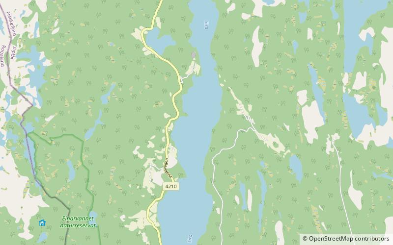
Sirdalsvatnet is a lake in the municipalities of Sirdal and Flekkefjord in Agder county, Norway. The 18.8-square-kilometre lake is about 27 kilometres long running from the village of Tonstad in the north to the village of Sira in the south. The lake is about 1 kilometre wide at its widest point. ()
Alternative names: Area: 7.52 mi²Length: 16.78 miWidth: 3281 ftElevation: 164 ft a.s.l.Coordinates: 58°28'3"N, 6°40'35"E
Location
Vest-Agder
ContactAdd
Social media
Add
Day trips
Sirdalsvatnet – popular in the area (distance from the attraction)
Nearby attractions include: Bakke Church, Lund Church, Gyland Church.


